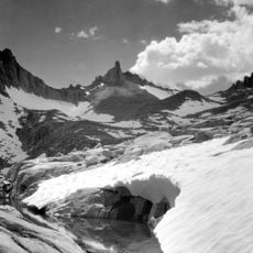
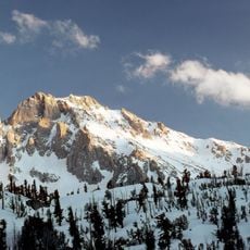
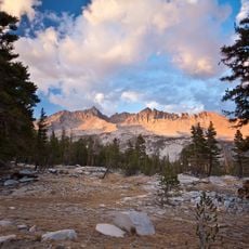
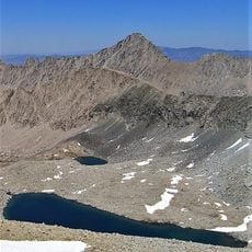
Table Mountain, Mountain summit in Tulare County, California.
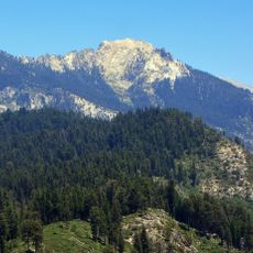
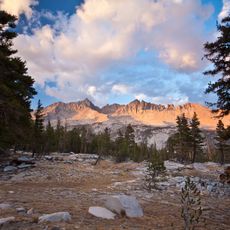
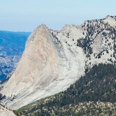
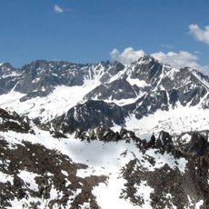
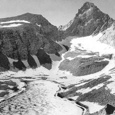
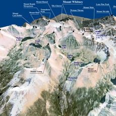
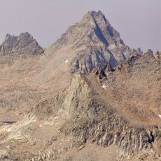
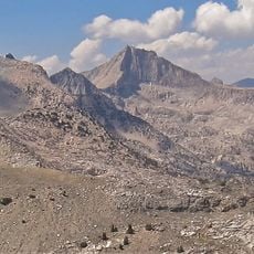
Table Mountain is a 4,119-metre summit on the Great Western Divide, on the boundary between Sequoia and Kings Canyon National Parks, 1 km south of Thunder Mountain and 2.1 km northeast of Midway Mountain. It is the highest of California's 21 peaks named Table Mountain. Its summit is a flat table, as Clarence King of the Whitney Survey noted of the ridge.
The peak was originally called Mount Hazen when named in 1881, but took its current name in 1905. This change reflects how geographic names in the region evolved over time through surveying and local use.
Clarence King of the Whitney Survey noted in his field notes that "At one place the ridge [Great Western Divide] forms a level table," the observation behind the name. The name Table appeared on Charles F. Hoffmann's 1873 map, and the Board on Geographic Names recognized it in 1905. The summit marks the boundary between Sequoia and Kings Canyon National Parks.
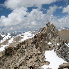
Reaching the summit requires scrambling skills rated class 3 and can be approached from either the Southeast Side or West Ridge. The climb is demanding and calls for solid route-finding ability and experience on rocky ground.
Clarence King of the Whitney Survey noted in his field notes that "At one place the ridge [Great Western Divide] forms a level table" — the observation behind the name. The name Table appeared on Charles F. Hoffmann's 1873 map, and in 1881 the peak was officially named Mount Hazen for General Hazen, Chief Signal Officer of the U.S. Army, before the Board on Geographic Names restored Table Mountain in 1905.
The community of curious travelers
AroundUs brings together thousands of curated places, local tips, and hidden gems, enriched daily by 93,173 contributors worldwide.