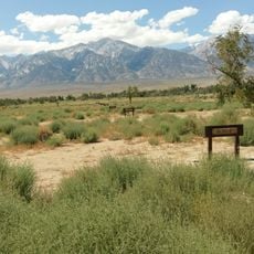
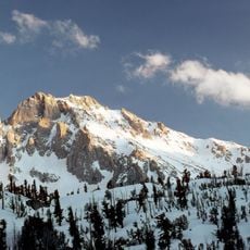
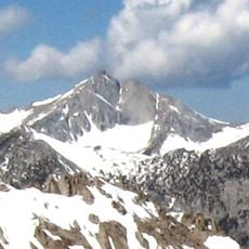
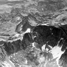
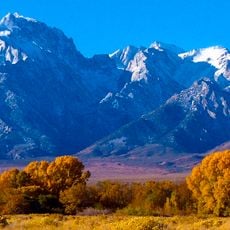
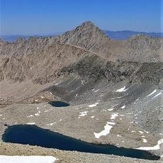
Mount Keith, Mountain peak in Sierra Nevada, California, United States.
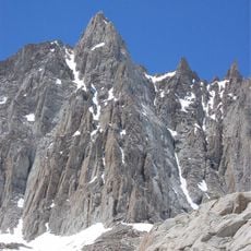
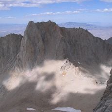
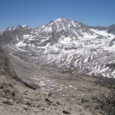
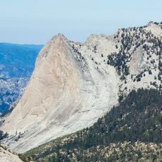
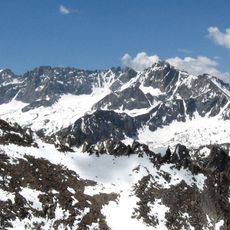
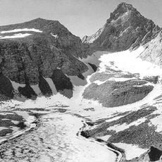
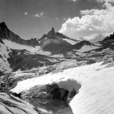
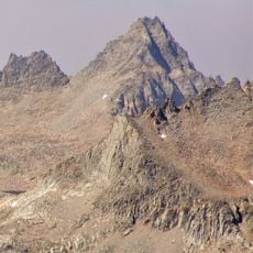
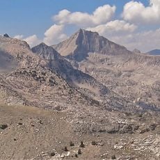
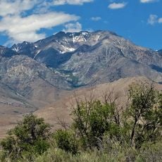
Mount Keith is a thirteener on the crest of the Sierra Nevada, rising over 13,000 feet between Mount Bradley to the north and Junction Peak to the southwest. Its north and west slopes drain into the Kings River via Bubbs Creek, while its east and south slopes feed the Owens River through Shepherd Creek. The summit sits on the boundary between Kings Canyon National Park and the John Muir Wilderness.
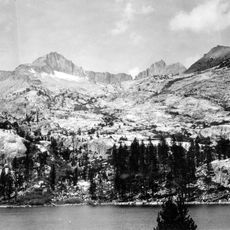
Helen Gompertz, later Helen LeConte, named the peak in July 1896 for the artist and Sierra Club member William Keith. The first ascent was made on July 6, 1898, by Cornelius Beach Bradley, Jennie and Robert Price, and Joseph Shinn, who scrambled over boulders and scree from the upper lakes of Center Basin to the summit by the Northwest Face route.
The name honours William Keith, a Californian landscape painter and Sierra Club member; Helen Gompertz (later Helen LeConte) gave it in July 1896. The first party to climb the peak, on 6 July 1898, was Cornelius Beach Bradley with Jennie and Robert Price and Joseph Shinn, who scrambled up the Northwest Face from the upper lakes of Center Basin.
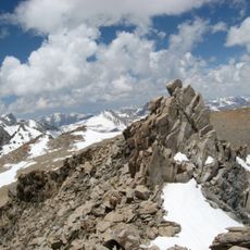
Reaching the summit requires solid hiking experience and basic scrambling skills over steep terrain with loose rock. Visitors should be prepared for unpredictable mountain weather and potential snow, especially in spring and fall seasons.
Water flowing from the mountain's slopes splits into two different river systems: the Kings River to the north and west through Bubbs Creek, and the Owens River to the east via Shepherd Creek. This hydrological divide makes the peak a notable point between watersheds.
The community of curious travelers
AroundUs brings together thousands of curated places, local tips, and hidden gems, enriched daily by 93,139 contributors worldwide.