Inyo County, Administrative county in California, United States
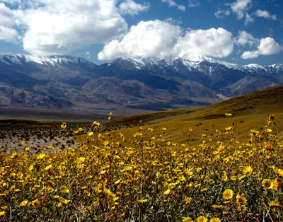
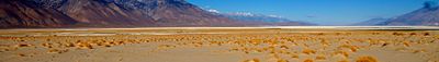
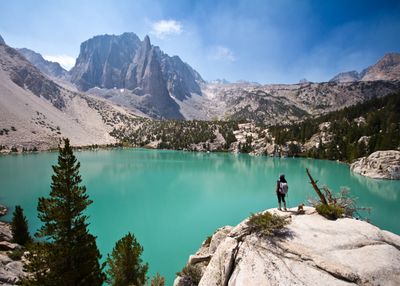
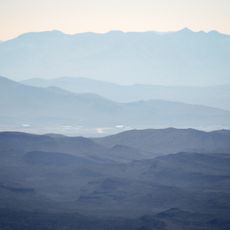
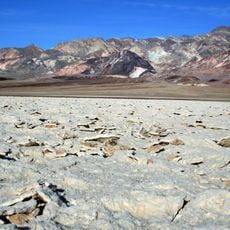
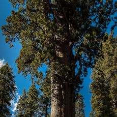
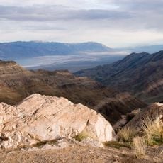
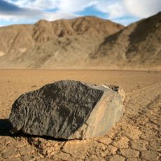
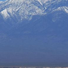
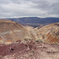
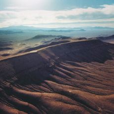
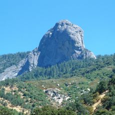
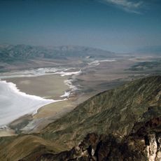
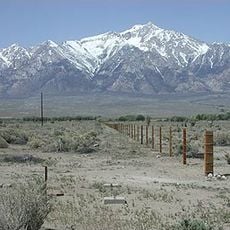
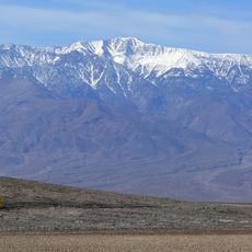
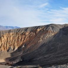
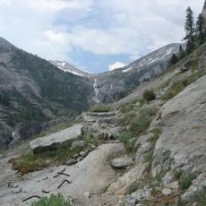
Inyo County is an administrative division in eastern California covering 10,227 square miles (26,488 square kilometers) that contains both the highest and lowest points in the contiguous United States. The landscape ranges from snowcapped peaks of the Sierra Nevada to the parched salt flats of Death Valley, with long stretches of dry valleys and rocky canyons in between.
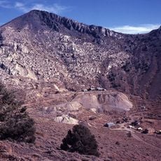
The government created the territory in 1866 during the mining boom and named it after the Mono language term for the spiritual character of the region. Boundary expansions followed in 1870 and 1872 when parts of neighboring counties were added, shaping its present form.
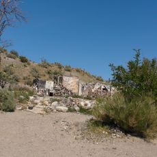
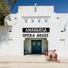
The name comes from the Mono language and translates to dwelling of the great spirit, a reference to the indigenous Paiute and Shoshone communities who have long inhabited these desert and mountain valleys. Today, visitors can still explore traditional gathering sites and rock art panels that show how native groups adapted to this harsh environment over thousands of years.
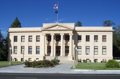
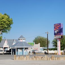
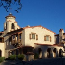
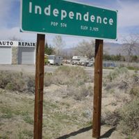
Independence serves as the administrative center of the territory, while Bishop operates as the only incorporated town offering services and facilities for residents and travelers passing through. Most roads run along the valleys between mountain ranges, so travelers should plan for long driving times between destinations and limited fuel stations outside settlements.
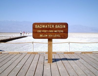
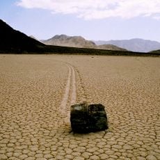
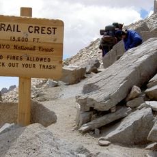
Death Valley National Park and Mount Whitney both lie within the boundaries and represent the most extreme elevation difference in North America, with over 14,000 feet (4,267 meters) of vertical separation between them. Visitors can theoretically travel from the lowest point on the continent to the highest peak in a single day, though the distance and terrain make this a rare feat.
The community of curious travelers
AroundUs brings together thousands of curated places, local tips, and hidden gems, enriched daily by 60,000 contributors worldwide.