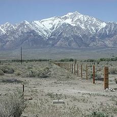
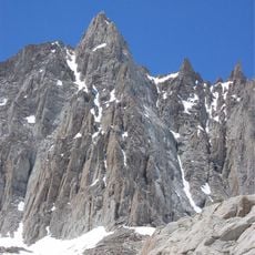
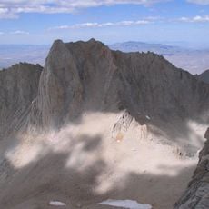
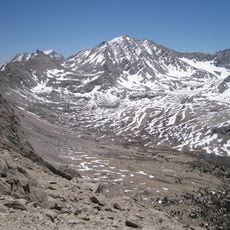
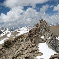
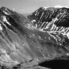
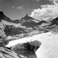
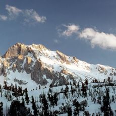
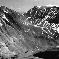
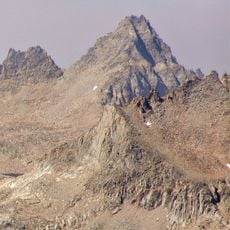
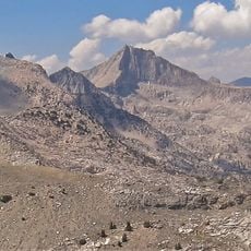
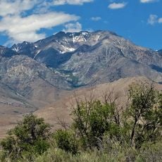
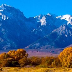
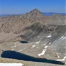
Mount Stanford, Mountain summit in Kings Canyon National Park, California, US.
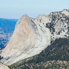
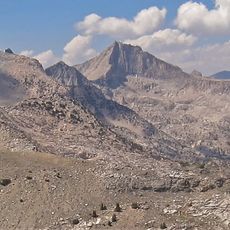
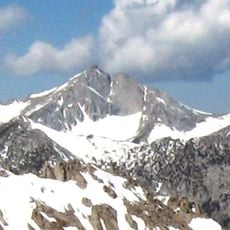
Mount Stanford rises to 13,979 feet (4,261 m) on the Kings-Kern Divide in Kings Canyon National Park, in Tulare County, California. It is the fifteenth-highest mountain in the state, about 3.6 miles (5.8 km) from University Peak, and its summit is reached by an exposed class 3 scramble.
On 1 August 1896 Stanford professor Bolton Coit Brown made the first recorded ascent and asked that the peak be named Mount Stanford. Because a summit in Placer County already carried that name, that one became Castle Peak and his choice was accepted. On 16 August 1899 Stanford president David Starr Jordan climbed it with his wife and a Stanford party.
The name honours Stanford University, requested by Professor Bolton Coit Brown after his 1896 first ascent. A second Mount Stanford, 12,838 feet high, stands 59 miles north-northeast in the John Muir Wilderness, named in 1911 for Leland Stanford and renamed in 1982.
Mount Stanford is a class 3 exposed scramble, climbed without ropes or special equipment by experienced mountaineers in late summer. The usual approach starts at the Onion Valley trailhead west of Independence, off U.S. Route 395. Snow generally clears by late summer, and the peak lies on the Kings-Kern Divide inside Kings Canyon National Park.
The summit sits on the Kings-Kern Divide and stands approximately 3.6 miles from University Peak, creating a geographical link between two educational institutions. This location makes it an interesting waypoint for hikers who want to combine several nearby peaks in a single journey.
The community of curious travelers
AroundUs brings together thousands of curated places, local tips, and hidden gems, enriched daily by 93,129 contributors worldwide.