Mount Williamson, Granite summit in Inyo County, California
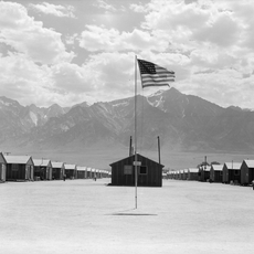
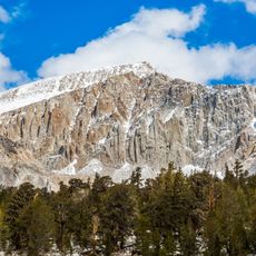
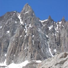
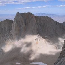
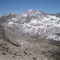
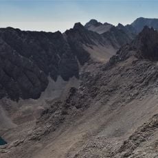
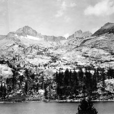
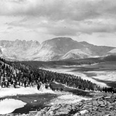
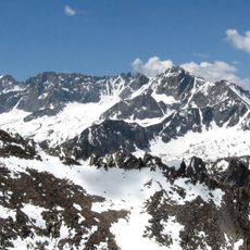
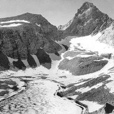
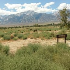
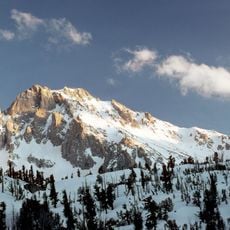
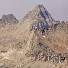
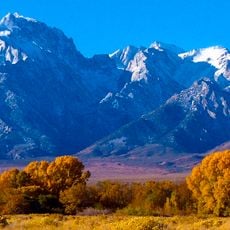
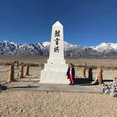
Mount Williamson is a granite mountain in the Sierra Nevada, reaching 14,379 feet (4,383 m). It is the second-highest peak in California and the sixth-highest in the contiguous United States. Its broad, triangular form rises behind a flat, dry plain and a line of thin wooden posts, with snow patches on the upper slopes and bare gray and brown granite below.
The peak was named in the 1800s after Lieutenant Robert Stockton Williamson, a surveyor who mapped railroad routes across Southern California. His work on Pacific Railroad surveys contributed to transportation planning through the Sierra Nevada.
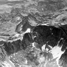
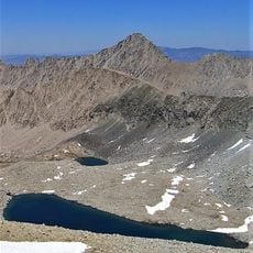
The peak carries the name of Lt. Robert Stockton Williamson, who led Pacific Railroad Surveys mapping a transcontinental rail route; the 1884 first ascent by W. L. Hunter and C. Mulholland is the earliest recorded. Climbers today follow the West Side Route from Shepherd Pass through the Williamson Bowl, past five alpine lakes, then up gullies to the summit plateau.
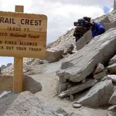
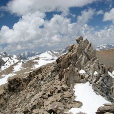
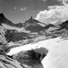
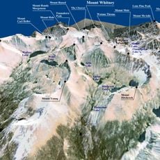
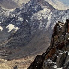
The standard West Side Route starts at Shepherd's Pass, reached by an 11-mile (18 km) trail from the trailhead; total elevation gain from the trailhead exceeds 8,000 feet (2,400 m). From the pass the route crosses the Williamson Bowl, passing five alpine lakes, then climbs gullies on the west face with scrambling up to class 3. The Southeast Slopes Route from George Creek is technically easier but demands route finding and bushwhacking.
From 1981 until 2010 the California Bighorn Sheep Zoological Area, which covers the mountain, was closed to access for much of the year; the Inyo National Forest Service declined to renew the closure in late 2010. The rare sheep can often be seen on the lower slopes in winter, when heavy snow drives them down from summer grazing areas.
The community of curious travelers
AroundUs brings together thousands of curated places, local tips, and hidden gems, enriched daily by 93,251 contributors worldwide.