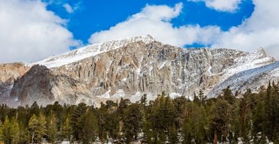
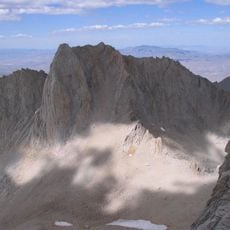
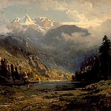
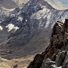
Mount Langley, Granite mountain summit in Inyo County, California.
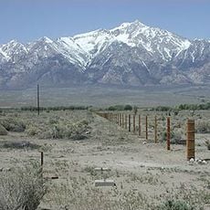
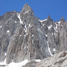
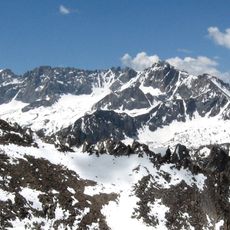
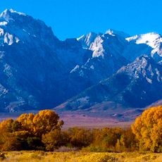
Mount Langley is a granite peak in the southern Sierra Nevada, sitting on the boundary between Inyo and Tulare counties in California. It rises to about 14,032 feet (4,277 meters) along a high ridge that separates the Owens Valley to the east from the Kern River Valley to the west.
The peak was known by several names, including Mount Corcoran, Cirque Peak, and Sheep Mountain, before the Board on Geographic Names settled on Mount Langley in 1943. The name honors Samuel Pierpont Langley, a 19th-century American astronomer and physicist who studied solar radiation.
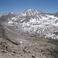
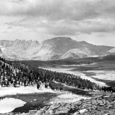
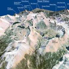
Mount Langley is the southernmost peak above 14,000 feet (4,267 meters) in the contiguous United States, a detail that draws many hikers specifically to this summit. Its place on the Sierra Peaks Section list makes it a goal for those working through the region's high summits.
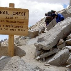
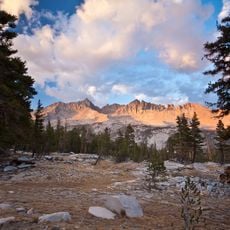
Most hikers start at the Horseshoe Meadow trailhead and follow the trail through the Cottonwood Lakes area, choosing either New Army Pass or Old Army Pass to reach the top. Both routes are long and gain a lot of elevation, so spending a night at a lower camp before the summit push is a good idea.
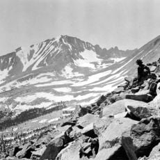
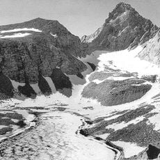
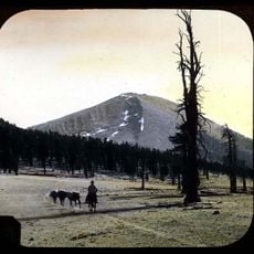
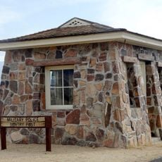
Although Mount Langley is only about 5 miles (8 kilometers) from Mount Whitney, it receives far fewer visitors, making it possible to reach the summit with very little company. One of the approach routes, Old Army Pass, was used by US Army mule trains in the late 1800s to cross the Sierra.
The community of curious travelers
AroundUs brings together thousands of curated places, local tips, and hidden gems, enriched daily by 60,000 contributors worldwide.