·

Enable Location

We need your location to show you interesting places around you

Discover nearby places

Find interesting locations and hidden gems around you

Precise directions

Get accurate directions and distances to places

Your location is never shared with other users. It's only used when you tap the location button.

Mount Baxter

Log in to your account

Start exploring — it's free

Trusted by 62,656 travelers worldwide

Continue with Google
Continue with Apple
or

We will send you a code to connect

By continuing, you accept our Terms and Conditions and our Privacy Policy

Check your inbox

We've sent a pincode in your inbox. Please enter the code below.

Mount Baxter

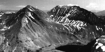
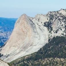
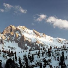
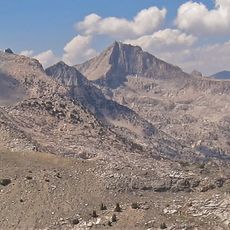
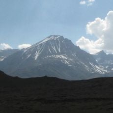
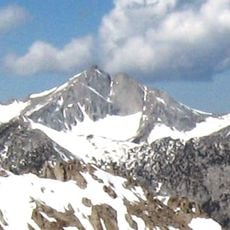
Mount Baxter, Mountain peak in Kings Canyon National Park, United States

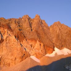
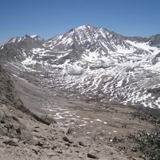
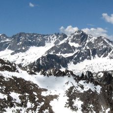
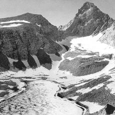
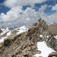
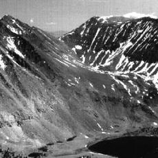
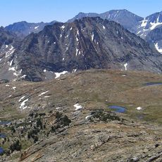
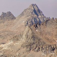
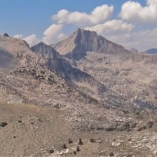
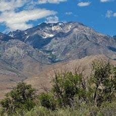
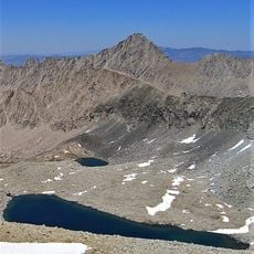
Mount Baxter is a mountain peak located along the Sierra Nevada crest that marks a natural boundary between two protected areas. The summit sits at approximately 13,000 feet in terrain characterized by steep slopes, exposed rock, and high-altitude conditions.

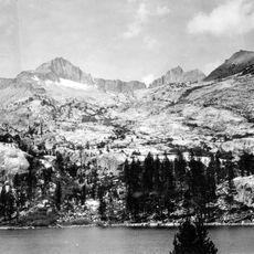
George Davis made the first recorded climb to the summit in 1905, beginning the peak's mountaineering history. The mountain later became known for its ecological importance, leading to land management changes that shape visitor access today.

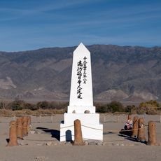
The peak carries the name of John Baxter, a rancher who settled in Owens Valley generations ago. His legacy lives on through this geographic marker that connects the land to its early inhabitants.

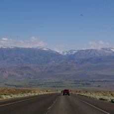
Visitors need a backcountry permit and should be comfortable navigating steep terrain, exposed ridges, and rock scrambles at high altitude. Late summer through early fall offers the best window for attempts before snow and weather make the mountain inaccessible.

The peak serves as a refuge for the rare Sierra Nevada bighorn sheep, whose protection shapes visitor restrictions on the mountain. These wild sheep use the steep eastern slopes as shelter from predators and to rear their young away from human activity.

The community of curious travelers

AroundUs brings together thousands of curated places, local tips, and hidden gems, enriched daily by 60,000 contributors worldwide.

Start exploring
Location
Location
Part of
Sierra Peaks Section Peaks List, Vagmarken Club Sierra Crest List
GPS coordinates
36.86151,-118.36214
Latest update
December 14, 2025 15:00
« Mount Baxter - Mountain peak in Kings Canyon National Park, United States » is provided by Around Us (aroundus.com). Images and texts are derived from Wikimedia project under a Creative Commons license. You are allowed to copy, distribute, and modify copies of this page, under the conditions set by the license, as long as this note is clearly visible.

Discover hidden gems everywhere you go!

From secret cafés to breathtaking viewpoints, skip the crowded tourist spots and find places that match your style. Our app makes it easy with voice search, smart filtering, route optimization, and insider tips from travelers worldwide. Download now for the complete mobile experience.

Around Us App Screenshot

A unique approach to discovering new places

Le Figaro

All the places worth exploring

France Info

A tailor-made excursion in just a few clicks

20 Minutes

Around Us
Travel Guide & Maps
Download

Send to your phone

QR Code
1

Open the camera app on your mobile.

2

Point at the QR code with your camera. A notification will appear.

3

Tap the notification to open the link.