Enable Location

We need your location to show you interesting places around you

Discover nearby places

Find interesting locations and hidden gems around you

Precise directions

Get accurate directions and distances to places

Your location is never shared with other users. It's only used when you tap the location button.

U.S. Route 395 in California

Log in to your account

Start exploring — it's free

Trusted by 61,656 travelers worldwide

Continue with Google
Continue with Apple
or

We will send you a code to connect

By continuing, you accept our Terms and Conditions and our Privacy Policy

Check your inbox

We've sent a pincode in your inbox. Please enter the code below.

U.S. Route 395 in California

U.S. Route 395 in California, Interstate highway in California, United States.

Description

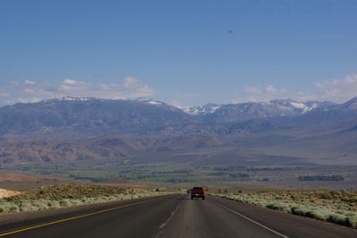
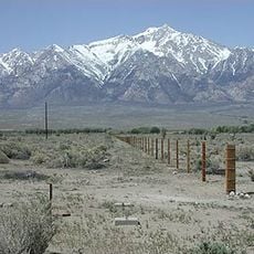
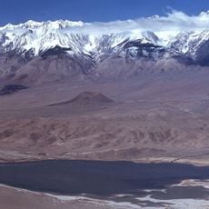
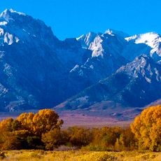
U.S. Route 395 is a major highway running roughly 557 miles through California, connecting Hesperia in the Mojave Desert to the Oregon border. It passes through seven counties and crosses diverse terrain ranging from desert valleys to mountain regions.

History

The route developed from earlier paths such as the Camino Sierra and became a major transportation corridor during California's 1930s infrastructure expansion. It now connects communities and areas historically shaped by mining and agricultural activities.

Culture

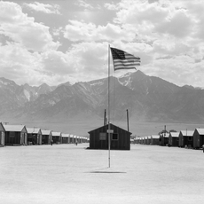
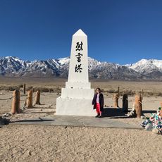
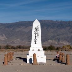
The route passes by Manzanar National Historic Site, preserving the location of a World War II Japanese American internment center in Inyo County.

Practical

Travelers should check the California Department of Transportation website for current road conditions and chain requirements, especially in mountain areas. Weather-related closures and construction may affect travel times, so getting updates before you leave is helpful.

Did you know?

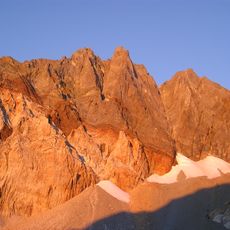
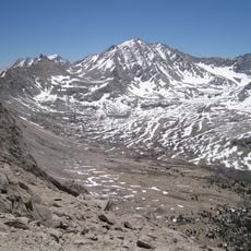
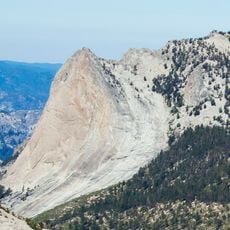
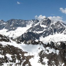
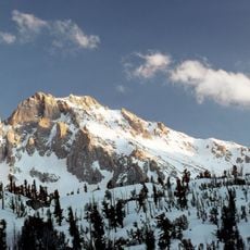
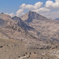
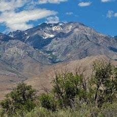
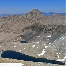
The highway provides access to extreme geographic contrasts: you can find yourself near the lowest point in North America at Death Valley and the highest peak at Mount Whitney in relatively close proximity. This geological combination makes the journey through these landscapes particularly striking.

Location
Location
Location
Location
Location
Location
GPS coordinates
36.86644,-118.23624
Latest update
December 14, 2025 19:13

AroundUs brings together thousands of curated places, local tips, and hidden gems, enriched daily by 60,000 contributors worldwide. Discover all places nearby (San Bernardino County).

« U.S. Route 395 in California - Interstate highway in California, United States » is provided by Around Us (aroundus.com). Images and texts are derived from Wikimedia project under a Creative Commons license. You are allowed to copy, distribute, and modify copies of this page, under the conditions set by the license, as long as this note is clearly visible.

Discover hidden gems everywhere you go!

From secret cafés to breathtaking viewpoints, skip the crowded tourist spots and find places that match your style. Our app makes it easy with voice search, smart filtering, route optimization, and insider tips from travelers worldwide. Download now for the complete mobile experience.

Around Us App Screenshot

A unique approach to discovering new places

Le Figaro

All the places worth exploring

France Info

A tailor-made excursion in just a few clicks

20 Minutes

Around Us
Travel Guide & Maps
Download

Send to your phone

QR Code
1

Open the camera app on your mobile.

2

Point at the QR code with your camera. A notification will appear.

3

Tap the notification to open the link.