Enable Location

We need your location to show you interesting places around you

Discover nearby places

Find interesting locations and hidden gems around you

Precise directions

Get accurate directions and distances to places

Your location is never shared with other users. It's only used when you tap the location button.

Kern County

Log in to your account

Start exploring — it's free

Trusted by 62,843 travelers worldwide

Continue with Google
Continue with Apple
or

We will send you a code to connect

By continuing, you accept our Terms and Conditions and our Privacy Policy

Check your inbox

We've sent a pincode in your inbox. Please enter the code below.

Kern County, County of California in Southern Central Valley, US.

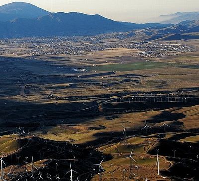
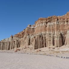
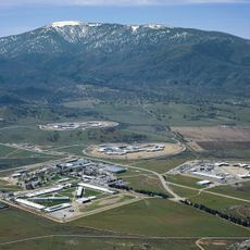
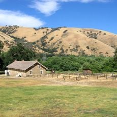
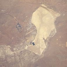
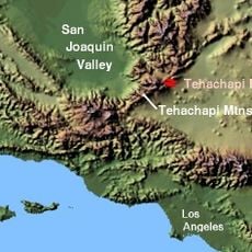
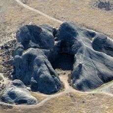
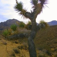
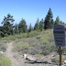
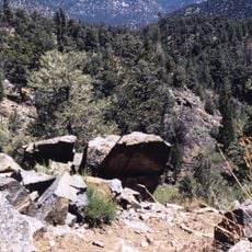
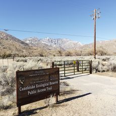
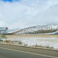
Kern County is an administrative division in California that covers parts of the Central Valley, Coast Ranges, Sierra Nevada, and Mojave Desert. The area spans roughly 8,163 square miles (21,140 square kilometers) and ranges from farming plains to mountain ranges and desert zones.

The division was established in 1866 and named after a river that honored Edward Kern. This cartographer accompanied General John C. Frémont's expedition through California in the mid-1800s.

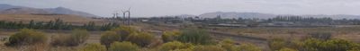
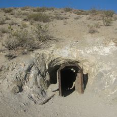
The name comes from a river that honors a mapmaker who traveled through the area in the 1800s. Oil pumps stand beside farm fields along the roads, while desert landscapes appear at the valley edges.

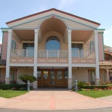
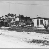
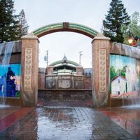
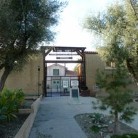
Travelers find different landscapes within the division, from farmland to mountain passes and desert stretches. Distances between towns can be long, so planning stops along the route helps.

The area produces more petroleum than any other division in California, with pumping facilities scattered across wide tracts. At the same time, many crops sold in California supermarkets grow here.

The community of curious travelers

AroundUs brings together thousands of curated places, local tips, and hidden gems, enriched daily by 60,000 contributors worldwide.

Start exploring
Location
Inception
1866
Capital city
Bakersfield
Shares border with
Los Angeles County, Tulare County, Kings County, Inyo County, San Bernardino County, Ventura County, Santa Barbara County, San Luis Obispo County
GPS coordinates
35.34000,-118.72000
Latest update
December 15, 2025 00:03
Around this place
Tehachapi Loop
United States of America

Tehachapi Loop

22.7 km
Willow Springs International Motorsports Park
United States of America

Willow Springs International Motorsports Park

66.4 km
Red Rock Canyon State Park
United States of America

Red Rock Canyon State Park

66.3 km
California Correctional Institution
United States of America

California Correctional Institution

29 km
United States of America

Wasco State Prison

68.6 km
Lake Isabella
United States of America

Lake Isabella

45.5 km
Burro Schmidt Tunnel
United States of America

Burro Schmidt Tunnel

77 km
Fort Tejon
United States of America

Fort Tejon

54.2 km
Rogers Dry Lake
United States of America

Rogers Dry Lake

93.6 km
Tehachapi Pass
United States of America

Tehachapi Pass

47.8 km
Weedpatch Camp
United States of America

Weedpatch Camp

17.3 km
Mount Pinos
United States of America

Mount Pinos

70.3 km
Buck Owens Crystal Palace
United States of America

Buck Owens Crystal Palace

29.8 km
Painted Rock
United States of America

Painted Rock

106 km
Kevin Harvick's Kern Raceway
United States of America

Kevin Harvick's Kern Raceway

16.3 km
Jawbone Canyon
United States of America

Jawbone Canyon

62.8 km
Walker Pass
United States of America

Walker Pass

72.4 km
San Rafael Wilderness
United States of America

San Rafael Wilderness

119.6 km
Bitter Creek National Wildlife Refuge
United States of America

Bitter Creek National Wildlife Refuge

73.6 km
Kern National Wildlife Refuge
United States of America

Kern National Wildlife Refuge

93 km
United States of America

Hart Memorial Park

21.1 km
United States of America

Air Force Flight Test Museum

87 km
United States of America

El Paso Mountains Wilderness

79.6 km
Chumash Wilderness
United States of America

Chumash Wilderness

74.6 km
Memorial Stadium
United States of America

Memorial Stadium

23.8 km
United States of America

Matilija Wilderness

71.1 km
Owens Peak Wilderness
United States of America

Owens Peak Wilderness

80 km
Canebrake Ecological Reserve
United States of America

Canebrake Ecological Reserve

65.7 km
Show the full map
« Kern County - County of California in Southern Central Valley, US » is provided by Around Us (aroundus.com). Images and texts are derived from Wikimedia project under a Creative Commons license. You are allowed to copy, distribute, and modify copies of this page, under the conditions set by the license, as long as this note is clearly visible.

Discover hidden gems everywhere you go!

From secret cafés to breathtaking viewpoints, skip the crowded tourist spots and find places that match your style. Our app makes it easy with voice search, smart filtering, route optimization, and insider tips from travelers worldwide. Download now for the complete mobile experience.

Around Us App Screenshot

A unique approach to discovering new places

Le Figaro

All the places worth exploring

France Info

A tailor-made excursion in just a few clicks

20 Minutes

Around Us
Travel Guide & Maps
Download

Send to your phone

QR Code
1

Open the camera app on your mobile.

2

Point at the QR code with your camera. A notification will appear.

3

Tap the notification to open the link.