Chest opened
+${chestReward.xp} XP
Explorer
NOUVEAU ×${chestReward.collectible.quantity}
tapez pour fermer

See the monuments around you in AR Open chests in the app

Around Us is built for your phone — point your camera at the streets and discover the monuments and places around you in augmented reality. Around Us is built for your phone — chests unlock when you walk, explore and capture nearby places.

Enable Location

We need your location to show you interesting places around you

Discover nearby places

Find interesting locations and hidden gems around you

Precise directions

Get accurate directions and distances to places

Your location is never shared with other users. It's only used when you tap the location button.

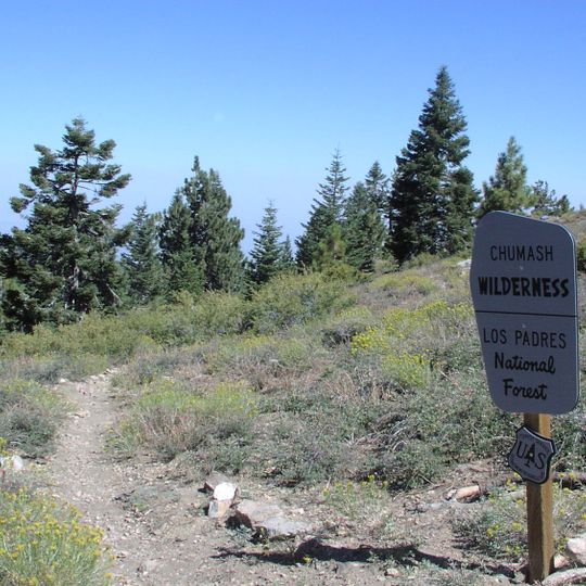
Chumash Wilderness

Log in to your account

Start exploring — it's free

Trusted by 87,223 travelers worldwide

Continue with Google
Continue with Apple
or

We will send you a code to connect

By continuing, you accept our Terms and Conditions and our Privacy Policy

Check your inbox

We've sent a pincode in your inbox. Please enter the code below.

Chumash Wilderness
Discussion Reviews 1 Photos
4.3k Popularity

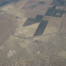
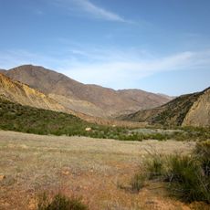
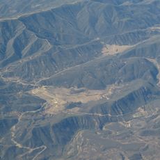
Chumash Wilderness, Protected wilderness in Kern County, United States.

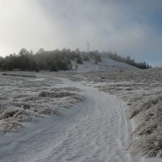
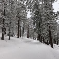
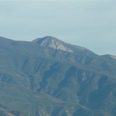
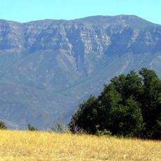
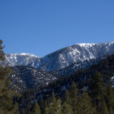
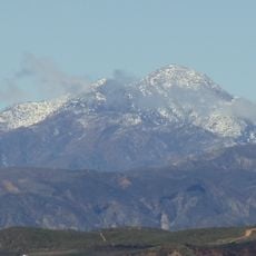
Chumash Wilderness is a large protected area spanning over 38,000 acres within Los Padres National Forest. Mount Pinos reaches 8,831 feet (2,690 meters) and dense forests of conifers cover the higher elevations throughout the region.

Congress protected this wilderness in 1992 as part of the Los Padres Condor Range and River Protection Act. This law marked an important step to preserve the natural landscape and its resources for future generations.

The Chumash people hold deep spiritual connections to the peaks and ridges here, viewing these high places as sacred ground. Walking through the land, you can sense the long relationship between this Native American community and the natural features around you.

Overnight visitors need permits to camp in this area, and trails here are long and demanding. The main access point is the Mount Pinos trailhead with parking available about two miles from the entrance gate.

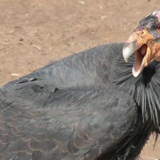
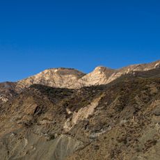
The area contains specialized habitats for California condors, giant vultures found almost nowhere else in the world. The knife-edge ridges and steep canyon walls create geological features that these rare birds depend on for survival.

The community of curious travelers

AroundUs brings together thousands of curated places, local tips, and hidden gems, enriched daily by 60,000 contributors worldwide.

Start exploring
Location
Operator
United States Forest Service
GPS coordinates
34.80174,-119.20760
Latest update
September 12, 2026 02:30
Around this place
Pyramid Lake
United States of America

Pyramid Lake

26.7 mi
Taft Correctional Institution
United States of America

Taft Correctional Institution

23.6 mi
Mount Pinos
United States of America

Mount Pinos

3.6 mi
Sespe Wilderness
United States of America

Sespe Wilderness

19.5 mi
Bitter Creek National Wildlife Refuge
United States of America

Bitter Creek National Wildlife Refuge

12.7 mi
Sespe Condor Sanctuary
United States of America

Sespe Condor Sanctuary

24.5 mi
Frazier Mountain
United States of America

Frazier Mountain

13.7 mi
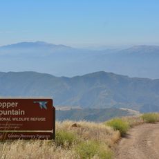
Hopper Mountain National Wildlife Refuge
United States of America

Hopper Mountain National Wildlife Refuge

31.6 mi
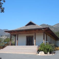
Santa Barbara Vedanta Temple
United States of America

Santa Barbara Vedanta Temple

32.5 mi
Union Oil Company Building
United States of America

Union Oil Company Building

32.1 mi
Charles M. Pratt House
United States of America

Charles M. Pratt House

23.7 mi
Antimony Peak
United States of America

Antimony Peak

7.5 mi
Bart's Books
United States of America

Bart's Books

24.5 mi
Foster Park Bowl
United States of America

Foster Park Bowl

31.6 mi
Hines Peak
United States of America

Hines Peak

21.5 mi
Willett Hot Springs
United States of America

Willett Hot Springs

18 mi
San Buenaventura Mission Aqueduct
United States of America

San Buenaventura Mission Aqueduct

32.1 mi
St. Thomas Aquinas Chapel
United States of America

St. Thomas Aquinas Chapel

24.6 mi
Meher Mount
United States of America

Meher Mount

27 mi
Sawmill Mountain
United States of America

Sawmill Mountain

2.4 mi
Big Caliente Hot Springs
United States of America

Big Caliente Hot Springs

27.2 mi
The Fort
United States of America

The Fort

28.2 mi
Cobblestone Mountain
United States of America

Cobblestone Mountain

23.5 mi
Vista del Lago
United States of America

Vista del Lago

27.2 mi
Little Pine Mountain
United States of America

Little Pine Mountain

33.3 mi
Madulce Peak
United States of America

Madulce Peak

23.1 mi
Fort Preservation Society
United States of America

Fort Preservation Society

28.2 mi
Frazier Park Branch Library
United States of America

Frazier Park Branch Library

14.8 mi
Show the full map
Reviews
Share your experience

No review yet

Discussions
Start a discussion...

No discussion yet

« Chumash Wilderness - Protected wilderness in Kern County, United States » is provided by Around Us (aroundus.com). Images and texts are derived from Wikimedia project under a Creative Commons license. You are allowed to copy, distribute, and modify copies of this page, under the conditions set by the license, as long as this note is clearly visible.

Discover hidden gems everywhere you go!

From secret cafés to breathtaking viewpoints, skip the crowded tourist spots and find places that match your style. Our app makes it easy with voice search, smart filtering, route optimization, and insider tips from travelers worldwide. Download now for the complete mobile experience.
Around Us App Screenshot

A unique approach to discovering new places

Le Figaro

All the places worth exploring

France Info

A tailor-made excursion in just a few clicks

20 Minutes

Around Us
Travel Guide & Maps
Download

Send to your phone

QR Code
1

Open the camera app on your mobile.

2

Point at the QR code with your camera. A notification will appear.

3

Tap the notification to open the link.