Chest opened
+${chestReward.xp} XP
Explorer
NOUVEAU ×${chestReward.collectible.quantity}
tapez pour fermer

See the monuments around you in AR Open chests in the app

Around Us is built for your phone — point your camera at the streets and discover the monuments and places around you in augmented reality. Around Us is built for your phone — chests unlock when you walk, explore and capture nearby places.

Enable Location

We need your location to show you interesting places around you

Discover nearby places

Find interesting locations and hidden gems around you

Precise directions

Get accurate directions and distances to places

Your location is never shared with other users. It's only used when you tap the location button.

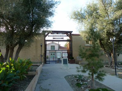
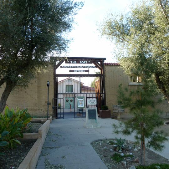
The Fort

Log in to your account

Start exploring — it's free

Trusted by 85,339 travelers worldwide

Continue with Google
Continue with Apple
or

We will send you a code to connect

By continuing, you accept our Terms and Conditions and our Privacy Policy

Check your inbox

We've sent a pincode in your inbox. Please enter the code below.

Discussion Reviews 1 Photos
1.7k Popularity

The Fort, Adobe fort in Taft, United States.

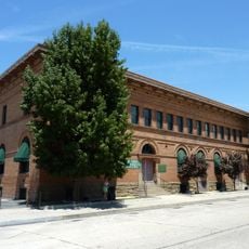
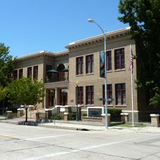
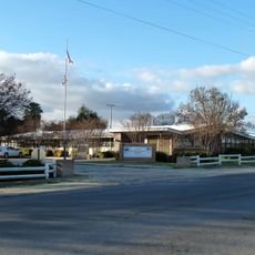
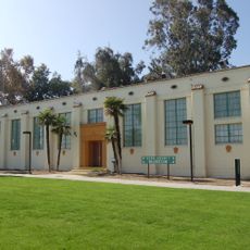
The Fort is an adobe structure in Taft with 14-foot walls rising from the California landscape. The layout includes two courtyards, wooden gates, and an auditorium, all arranged across three acres with both sheltered and open areas.

Built between 1938 and 1940 under the Works Progress Administration, the structure was modeled after Sacramento's Sutter's Fort as a government office facility. The project emerged from Depression-era job creation efforts in California.

The name "Fort" references Sacramento's historic Sutter's Fort, which inspired its design and layout. Visitors walking through the grounds notice the Spanish colonial style reflected in the adobe construction and the way spaces open onto central courtyards.

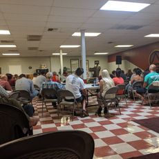
The site offers both indoor and outdoor event spaces available for weddings, corporate functions, and community gatherings by reservation. Plan ahead if you want to use the kitchen facilities or need shelter for your group.

The site ranks among the largest WPA buildings constructed in the San Joaquin Valley during the Depression era. It gained recognition on the National Register of Historic Places in 1981, relatively late for a New Deal-era structure.

The community of curious travelers

AroundUs brings together thousands of curated places, local tips, and hidden gems, enriched daily by 60,000 contributors worldwide.

Start exploring
Location
GPS coordinates
35.15060,-119.46500
Latest update
August 30, 2026 18:41
Around this place
United States of America

Wasco State Prison

30.8 mi
Taft Correctional Institution
United States of America

Taft Correctional Institution

5.3 mi
Mount Pinos
United States of America

Mount Pinos

29.6 mi
Buck Owens Crystal Palace
United States of America

Buck Owens Crystal Palace

28.9 mi
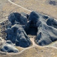
Painted Rock
United States of America

Painted Rock

22.5 mi
United States of America

Buttonwillow Raceway Park

24.4 mi
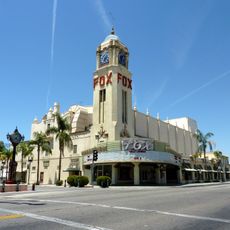
Fox Theater
United States of America

Fox Theater

29.5 mi
Bitter Creek National Wildlife Refuge
United States of America

Bitter Creek National Wildlife Refuge

16 mi
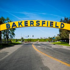
Bakersfield Sign
United States of America

Bakersfield Sign

28.9 mi
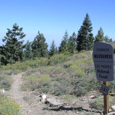
Chumash Wilderness
United States of America

Chumash Wilderness

28.2 mi
Kern County Museum
United States of America

Kern County Museum

30.2 mi
Antimony Peak
United States of America

Antimony Peak

27.5 mi
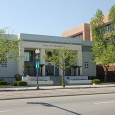
Kern County Hall of Records
United States of America

Kern County Hall of Records

29.6 mi
Caliente Mountain
United States of America

Caliente Mountain

18.5 mi
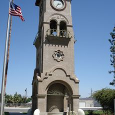
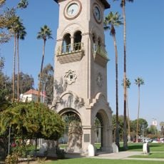
Beale Memorial Clock Tower
United States of America

Beale Memorial Clock Tower

30.3 mi
Bakersfield City Hall
United States of America

Bakersfield City Hall

29.5 mi
Bakersfield Museum of Art
United States of America

Bakersfield Museum of Art

30.1 mi
Sawmill Mountain
United States of America

Sawmill Mountain

28.8 mi
Buena Vista Museum of Natural History
United States of America

Buena Vista Museum of Natural History

29.7 mi
Tevis Block
United States of America

Tevis Block

29.6 mi
Calloway Canal
United States of America

Calloway Canal

28.1 mi
Jastro Building
United States of America

Jastro Building

29.5 mi
Shafter Research Station
United States of America

Shafter Research Station

28.4 mi
Kern County Chamber of Commerce Building
United States of America

Kern County Chamber of Commerce Building

30.3 mi
Kern Veterans Memorial
United States of America

Kern Veterans Memorial

30 mi
Alano Club Of Bakersfield
United States of America

Alano Club Of Bakersfield

30.4 mi
Fort Preservation Society
United States of America

Fort Preservation Society

280 ft
Beale Memorial Library
United States of America

Beale Memorial Library

29.9 mi
Show the full map
Reviews
Share your experience

No review yet

Discussions
Start a discussion...

No discussion yet

« The Fort - Adobe fort in Taft, United States » is provided by Around Us (aroundus.com). Images and texts are derived from Wikimedia project under a Creative Commons license. You are allowed to copy, distribute, and modify copies of this page, under the conditions set by the license, as long as this note is clearly visible.

Discover hidden gems everywhere you go!

From secret cafés to breathtaking viewpoints, skip the crowded tourist spots and find places that match your style. Our app makes it easy with voice search, smart filtering, route optimization, and insider tips from travelers worldwide. Download now for the complete mobile experience.
Around Us App Screenshot

A unique approach to discovering new places

Le Figaro

All the places worth exploring

France Info

A tailor-made excursion in just a few clicks

20 Minutes

Around Us
Travel Guide & Maps
Download

Send to your phone

QR Code
1

Open the camera app on your mobile.

2

Point at the QR code with your camera. A notification will appear.

3

Tap the notification to open the link.