Antimony Peak, Mountain summit in Kern County, California
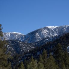
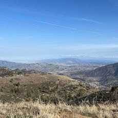
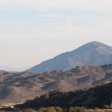
Antimony Peak is a summit in the San Emigdio Mountains near Kern County that reaches about 6851 feet in elevation. The mountain features rocky slopes composed of quartz diorite and offers straightforward climbing routes for hikers.
In 1854, W. P. Blake, a surveyor with the Pacific Railroad survey, identified a suspected vein of silver ore on the mountain. He named the peak after the material, which proved to be the metalloid antimony rather than silver. The name has remained since.
The name comes from W. P. Blake's 1854 misidentification of a silver vein as antimony, and the mineral name stuck to the mountain. The peak is listed as number 125 in the Sierra Club Hundred Peaks Section, so ascents are logged by hikers working through that list.
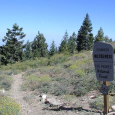
The peak rises about 237 metres above the surrounding terrain, and the summit sits roughly 2,075 metres above sea level. The land is administered by Los Padres National Forest, so check access rules before setting out. Mount Pinos, the highest point nearby, lies about 7.9 km to the north-east.
Three California peaks share this name, and this one is the tallest of the three. The confusion with other summits bearing the same name makes it recognizable to hikers who track their ascents.
The community of curious travelers
AroundUs brings together thousands of curated places, local tips, and hidden gems, enriched daily by 94,657 contributors worldwide.