Burnt Peak, Mountain summit in Angeles National Forest, California, US.
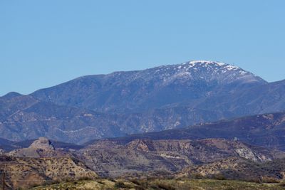
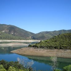
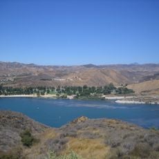
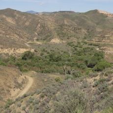
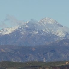
Burnt Peak is a mountain summit in the Sierra Pelona range that reaches 5,791 feet in elevation within Angeles National Forest. The peak sits in a region of Southern California characterized by rugged slopes and forest terrain that hikers explore regularly.
The peak earned its name from the burnt appearance that marks its summit and slopes. Protection of the surrounding area began in the early 1900s when Angeles National Forest was established to preserve the land.
Local hiking groups regularly organize group expeditions to Burnt Peak, creating opportunities for nature education and environmental appreciation.
Access to the peak is via Pine Canyon Road and forest service road 7N23, with parking available at lower elevations along the route. Visitors should prepare for changing weather conditions at higher elevations and bring adequate supplies for the hike.
A VOR air navigation beacon sits at the summit and serves aircraft throughout Southern California as a reference point. This aviation facility makes the peak notable beyond hiking circles as part of the region's airspace infrastructure.
The community of curious travelers
AroundUs brings together thousands of curated places, local tips, and hidden gems, enriched daily by 60,000 contributors worldwide.