Enable Location

We need your location to show you interesting places around you

Discover nearby places

Find interesting locations and hidden gems around you

Precise directions

Get accurate directions and distances to places

Your location is never shared with other users. It's only used when you tap the location button.

Walker Pass

Log in to your account

Start exploring — it's free

Trusted by 60,649 travelers worldwide

Continue with Google
Continue with Apple
or

We will send you a code to connect

By continuing, you accept our Terms and Conditions and our Privacy Policy

Check your inbox

We've sent a pincode in your inbox. Please enter the code below.

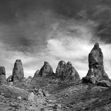
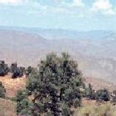
Walker Pass, Mountain pass in Kern County, California

Description

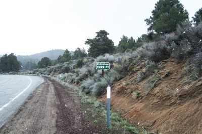
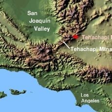
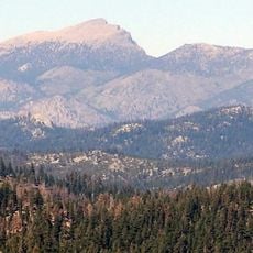
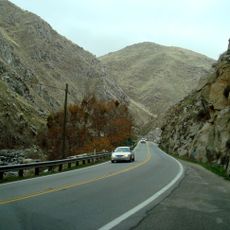
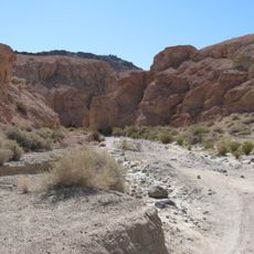
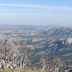
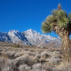
Walker Pass is a mountain pass in the Sierra Nevada connecting the Kern River Valley and San Joaquin Valley to the Mojave Desert. The route follows State Route 178 at an elevation of approximately 5,246 feet.

History

Joseph Rutherford Walker first mapped this Sierra Nevada route in 1834. The location later became recognized as a National Historic Landmark for its crucial role in westward expansion.

Culture

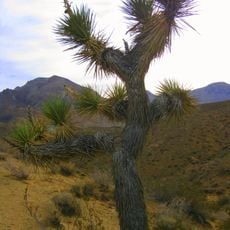
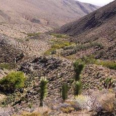
The pass served as a crucial route for people moving westward during the Gold Rush era. Visitors can experience the historical significance of pioneer migration through this landscape today.

Practical

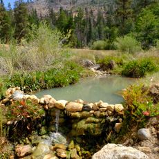
State Route 178 remains passable year-round, with occasional winter closures due to snowfall. A campground located roughly 1 kilometer southwest provides basic facilities for visitors.

Did you know?

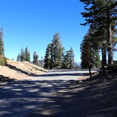
The pass sits along the Pacific Crest Trail, a major long-distance hiking route. Clear night skies in this high elevation area make it an exceptional spot for stargazing.

Location
Elevation above the sea
1,600 m
GPS coordinates
35.66306,-118.02694
Latest update
December 10, 2025 16:03

AroundUs brings together thousands of curated places, local tips, and hidden gems, enriched daily by 60,000 contributors worldwide. Discover all places nearby (California).

« Walker Pass - Mountain pass in Kern County, California » is provided by Around Us (aroundus.com). Images and texts are derived from Wikimedia project under a Creative Commons license. You are allowed to copy, distribute, and modify copies of this page, under the conditions set by the license, as long as this note is clearly visible.

Discover hidden gems everywhere you go!

From secret cafés to breathtaking viewpoints, skip the crowded tourist spots and find places that match your style. Our app makes it easy with voice search, smart filtering, route optimization, and insider tips from travelers worldwide. Download now for the complete mobile experience.

Around Us App Screenshot

A unique approach to discovering new places

Le Figaro

All the places worth exploring

France Info

A tailor-made excursion in just a few clicks

20 Minutes

Around Us
Travel Guide & Maps
Download

Send to your phone

QR Code
1

Open the camera app on your mobile.

2

Point at the QR code with your camera. A notification will appear.

3

Tap the notification to open the link.