Sacatar Trail Wilderness, Nature reserve in Inyo County, California, United States.
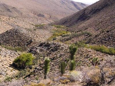
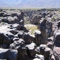
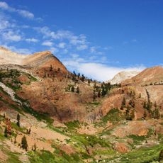
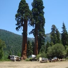
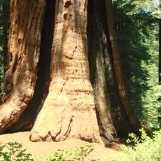
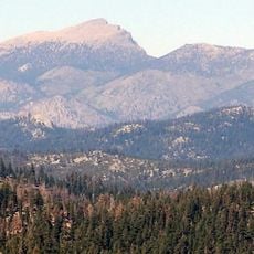
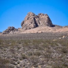
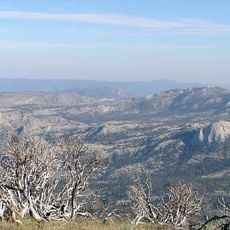
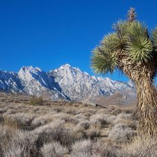
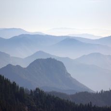
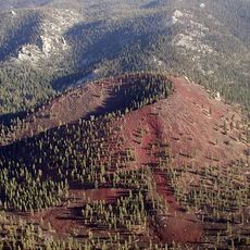
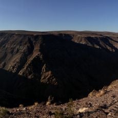
Sacatar Trail Wilderness is a protected area in Inyo County, California, made up of valleys, canyons, and granite peaks on the eastern side of the southern Sierra Nevada. The terrain rises from a desert floor through forested canyon bottoms to steep ridges at higher ground.
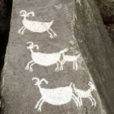
Before roads were built through the region, the Sacatar Trail was the main route for cattle herds, soldiers, and traders crossing into Owens Valley from the west. The construction of Walker Pass Road eventually redirected traffic, but the trail remained as a mark of that earlier movement through the mountains.
The name Sacatar is linked to a Spanish land grant from the Mexican period, when this corridor was used by ranchers moving cattle through the mountains. Today, hikers following the old route can still trace sections of the original path through the canyons.
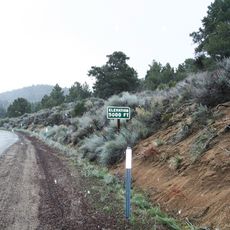
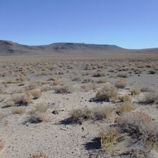
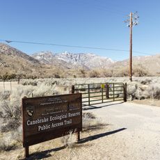
Access starts from Nine Mile Canyon Road, which branches off Highway 395. The terrain is steep and exposed, so carrying enough water is important since springs along the route are not always reliable.
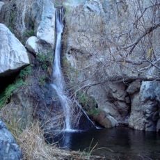
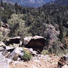
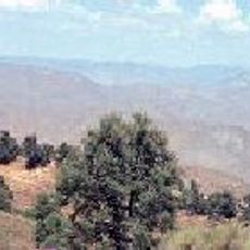
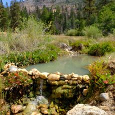
Five steep canyons on the eastern side contain year-round springs that create rare growing conditions for Phacelia novermillensis, a toxic plant found only in this part of California. The plant is harmful on contact, yet it draws botanists who come specifically to study it because of its very limited range.
The community of curious travelers
AroundUs brings together thousands of curated places, local tips, and hidden gems, enriched daily by 60,000 contributors worldwide.