Domeland Wilderness, Natural wilderness in Kern County, United States.
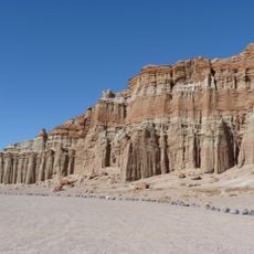
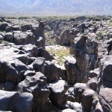
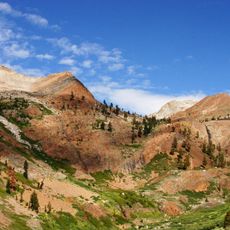
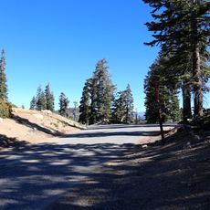
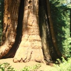
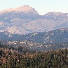
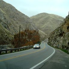
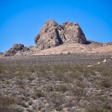
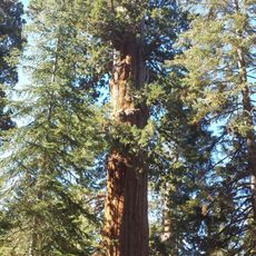
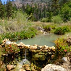
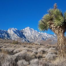
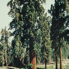
Domeland Wilderness is a 130,081-acre federally designated wilderness 55 miles northeast of Bakersfield, mostly within Sequoia National Forest and jointly managed with the BLM. The South Fork Kern River bisects it north to south, and the middle holds broad bedrock expanses with cliffs, domes and spires, including Church Dome. Mixed conifer forests of white fir and Jeffrey pine rise to limber and foxtail pine, from 2,800 to 9,977 feet.
The wilderness was established in 1964 under the federal Wilderness Act to protect the landscape from development. An expansion in 1994 added significant acreage managed by the Bureau of Land Management, enlarging the protected territory.
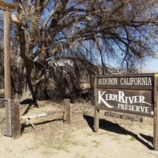
The river's name comes from the Kern River, named for Edward Kern, cartographer of John C. Frémont's 1845 expedition. Anglers fish the South Fork for brown and rainbow trout, and the upper reaches of Fish, Manter, Taylor and Trout creeks can hold golden trout. The Pacific Crest Trail follows the river for seven miles through the wilderness.
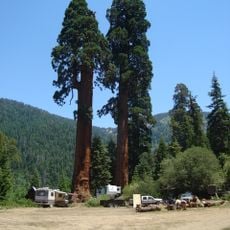
Three nearby campgrounds - Long Valley, Chimney Rock, and Kennedy Meadows - serve as good starting points for hiking and outdoor exploration. Plan for rugged mountain terrain, changing weather conditions, and bring plenty of water and proper gear for your visit.
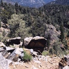
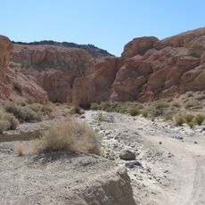
The landscape features striking granite domes and sharp rocky spires that were shaped by geological forces over millions of years. Many visitors focus on river access and meadows but miss the rugged rock formations that define the area's character.
The community of curious travelers
AroundUs brings together thousands of curated places, local tips, and hidden gems, enriched daily by 94,362 contributors worldwide.