Canebrake Ecological Reserve, Protected ecological reserve in Kern County, California, US
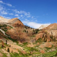
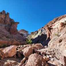
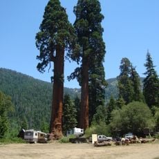
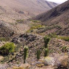
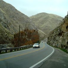
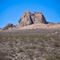
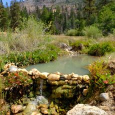
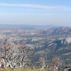
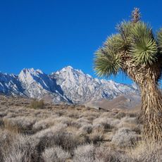
Canebrake Ecological Reserve covers 6,700 acres in the South Fork Valley of Kern County, 20 miles east of Lake Isabella. Its 1.2-mile wheelchair-accessible trail crosses Canebrake Creek through cottonwood-willow forest of Fremont cottonwood and three willow species, bordering a relict stand of Joshua trees. Two non-contiguous parcels in Cap Canyon and Scodie Canyon link the reserve to Sequoia National Forest.
The reserve was established in 1994, building on property from the historic Bloomfield Ranch operation. This transition marked a shift from private agricultural use to ecosystem conservation.
The reserve takes its name from Canebrake Creek, a tributary of the South Fork Kern River. The South Fork Valley was the first area settled around 1846, and historian Wallace M. Morgan described it as a fertile strip of bottomland forming the most important of the mountain farming districts. The first land bought for the reserve came from the 129-year-old Bloomfield Ranch.
A 1.2-mile (1.9 km) nature trail crosses Canebrake Creek and is wheelchair accessible. It passes through cottonwood-willow forest that intergrades with a relict stand of Joshua trees. The reserve lies in the South Fork Valley of Kern County, 20 miles (32 km) east of Lake Isabella.
The South Fork Kern population of the southwestern willow flycatcher is one of the largest in the United States. The reserve also protects the Kern red-winged blackbird, whose largest breeding population may number up to 500 individuals in the South Fork Valley.
The community of curious travelers
AroundUs brings together thousands of curated places, local tips, and hidden gems, enriched daily by 93,121 contributors worldwide.