Jawbone Canyon

Log in to your account

AroundUs is a community-driven map of interesting places, built by curious explorers like you. It grows with every review, story, and photo you share.
Connect to save your favorite spots, contribute locations, and create personalized routes.
By continuing, you accept our Terms and Conditions and our Privacy Policy
Add to collection
Map
Suggest a change
Share

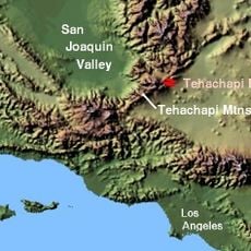
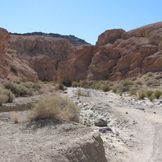
Jawbone Canyon, Off-highway vehicle recreational area in Kern County, California, US.

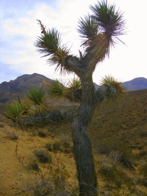
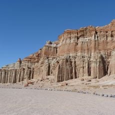
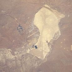
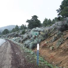
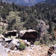
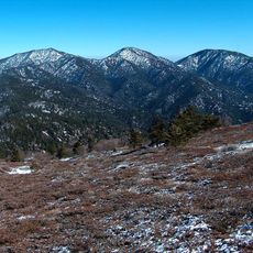
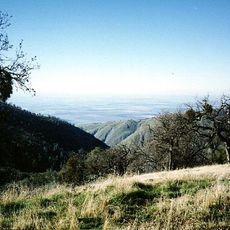
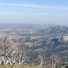
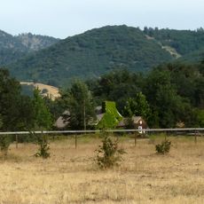
Jawbone Canyon is a protected recreational area in Kern County, California, featuring sand washes, steep hill climbs, and multiple routes for off-highway vehicles across thousands of acres. The landscape offers varied terrain that challenges drivers with different skill levels and preferences.

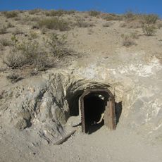
The canyon was named around 1860 by European settlers who noticed its jaw-like shape and distinctive appearance. It later became an important trading route connecting the Keyesville area to the Piute Mountains.

The Friends of Jawbone organization maintains the area's recreational activities and hosts community events like Moose Anderson Day throughout the year.

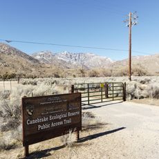
Visitors must follow vehicle registration requirements, with state residents needing specific sticker permits and out-of-state users requiring valid documentation from their home states. It's helpful to check requirements before your visit and bring appropriate gear for the terrain.

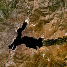
The Los Angeles Aqueduct runs through the area with its largest sag pipe, called the Jawbone Siphon during its construction phase. This water infrastructure is visible as you explore the canyon.

Location: California

GPS coordinates: 35.31000,-118.03000

Latest update: December 8, 2025 19:57

Photos
Around this place
Tehachapi Loop
United States of America

Tehachapi Loop

47.7 km
Willow Springs International Motorsports Park
United States of America

Willow Springs International Motorsports Park

52.9 km
Red Rock Canyon State Park
United States of America

Red Rock Canyon State Park

7.9 km
California Correctional Institution
United States of America

California Correctional Institution

53.8 km
Lake Isabella
United States of America

Lake Isabella

54 km
Burro Schmidt Tunnel
United States of America

Burro Schmidt Tunnel

17.9 km
Rogers Dry Lake
United States of America

Rogers Dry Lake

47 km
Tehachapi Pass
United States of America

Tehachapi Pass

32.6 km
Walker Pass
United States of America

Walker Pass

39.3 km
Owens Peak Wilderness
United States of America

Owens Peak Wilderness

45.6 km
Canebrake Ecological Reserve
United States of America

Canebrake Ecological Reserve

48.3 km
Robbers Roost
United States of America

Robbers Roost

32.3 km
Bright Star Wilderness
United States of America

Bright Star Wilderness

29.2 km
Double Mountain
United States of America

Double Mountain

51.7 km
Maturango Museum
United States of America

Maturango Museum

48.4 km
Last Chance Canyon
United States of America

Last Chance Canyon

12.8 km
Bear Mountain
United States of America

Bear Mountain

56.5 km
Domeland Wilderness
United States of America

Domeland Wilderness

63.7 km
Naval Museum of Armament & Technology
United States of America

Naval Museum of Armament & Technology

52 km
Owens Peak
United States of America

Owens Peak

47.8 km
ESMoA
United States of America

ESMoA

35.8 km
Errea House
United States of America

Errea House

42.9 km
Courtlandt Gross House
United States of America

Courtlandt Gross House

51.3 km
Tehachapi Depot Museum
United States of America

Tehachapi Depot Museum

42.8 km
Mournig Cloak Ranch and Botanical Gardens
United States of America

Mournig Cloak Ranch and Botanical Gardens

42.9 km
Rio Tinto Borax Mine Visitor Center
United States of America

Rio Tinto Borax Mine Visitor Center

44.1 km
4 Island Lake Beach
United States of America

4 Island Lake Beach

59.3 km
Kern River Preserve
United States of America

Kern River Preserve

47.7 km
Show the full map
Reviews

Visited this place? Tap the stars to rate it and share your experience / photos with the community! Try now! You can cancel it anytime.

« Jawbone Canyon - Off-highway vehicle recreational area in Kern County, California, US » is provided by Around Us (aroundus.com). Images and texts are derived from Wikimedia project under a Creative Commons license. You are allowed to copy, distribute, and modify copies of this page, under the conditions set by the license, as long as this note is clearly visible.

Discover hidden gems everywhere you go!

From secret cafés to breathtaking viewpoints, skip the crowded tourist spots and find places that match your style. Our app makes it easy with voice search, smart filtering, route optimization, and insider tips from travelers worldwide. Download now for the complete mobile experience.

Around Us App Screenshot

A unique approach to discovering new places

Le Figaro

All the places worth exploring

France Info

A tailor-made excursion in just a few clicks

20 Minutes