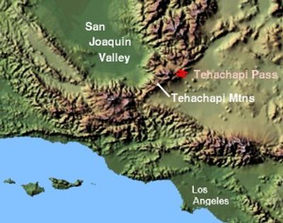
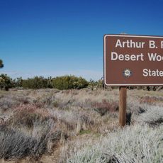
Tehachapi Pass, Rail mountain pass in Kern County, California, US
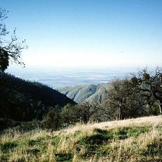
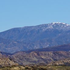
Tehachapi Pass is a mountain crossing through the Tehachapi Mountains at about 1156 meters elevation, linking the San Joaquin Valley to the Mojave Desert via State Route 58. The pass accommodates both highway traffic and a major railroad corridor that moves freight across California.
The Southern Pacific Railroad built the railway through this pass in 1876, creating a direct connection between Central California and the Mojave region. This construction transformed freight movement and settlement patterns across southern California.
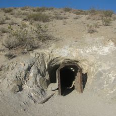
The Kitanemuk people developed trade pathways across this mountain pass, establishing it as a crossroads between different communities. These early routes shaped how people still move through the landscape today.
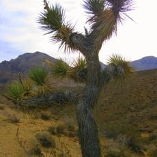
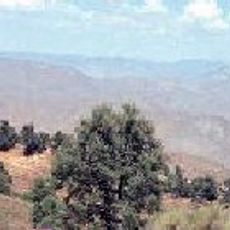
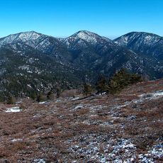
State Route 58 remains open year-round, though winter weather can occasionally affect conditions, so checking forecasts before traveling is wise. Several pullouts along the road offer good spots to stop and take in the views.
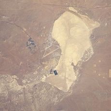
The Tehachapi Loop is a remarkable spiral railway section where longer trains pass over themselves while climbing 77 feet in elevation. This engineering solution is rarely seen elsewhere and remains visible from certain viewpoints along the pass.
The community of curious travelers
AroundUs brings together thousands of curated places, local tips, and hidden gems, enriched daily by 60,000 contributors worldwide.