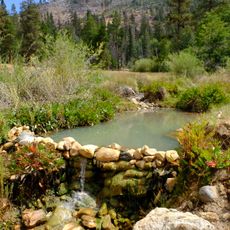
Darwin Falls Wilderness, Protected wilderness area in Mojave Desert, California.
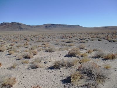
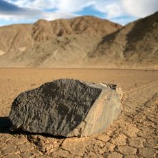
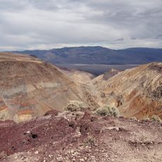
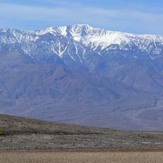
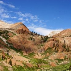
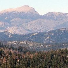
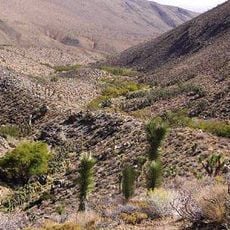
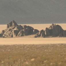
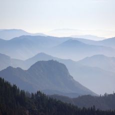
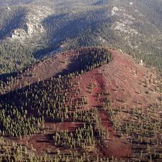
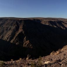
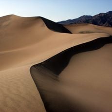
Darwin Falls Wilderness is a protected area in the northern Mojave Desert featuring volcanic rock formations, desert scrub, and scattered Joshua tree woodlands. The landscape displays geological layers from different geological periods, shaped by millions of years of natural erosion and weathering.
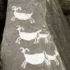
The area was established as a wilderness area in 1994 through the California Desert Protection Act and named after Erasmus Darwin French, an Army officer who searched for silver here in 1846. This protection preserved one of the last undeveloped desert spaces in the region.
The Bureau of Land Management maintains this wilderness as part of the National System, preserving natural landscapes between Death Valley and the Darwin Hills.
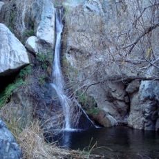
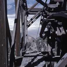
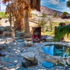
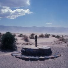
The main access route is State Route 190 in Panamint Valley, with hiking trails leading into Darwin Canyon. The area is remote and visitors should bring plenty of water and prepare with maps beforehand.
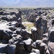
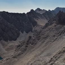
The area contains an unusual mix of Permian-aged rocks from ancient seas alongside younger Tertiary volcanic formations. These adjacent stone layers tell a geological story spanning over a hundred million years of Earth's history.
The community of curious travelers
AroundUs brings together thousands of curated places, local tips, and hidden gems, enriched daily by 60,000 contributors worldwide.