·

Enable Location

We need your location to show you interesting places around you

Discover nearby places

Find interesting locations and hidden gems around you

Precise directions

Get accurate directions and distances to places

Your location is never shared with other users. It's only used when you tap the location button.

Rainbow Canyon

Log in to your account

Start exploring — it's free

Trusted by 62,650 travelers worldwide

Continue with Google
Continue with Apple
or

We will send you a code to connect

By continuing, you accept our Terms and Conditions and our Privacy Policy

Check your inbox

We've sent a pincode in your inbox. Please enter the code below.

Rainbow Canyon

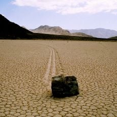
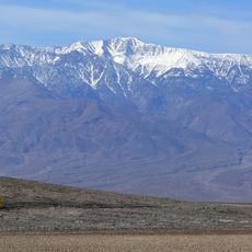
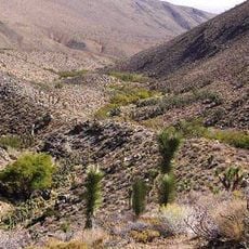
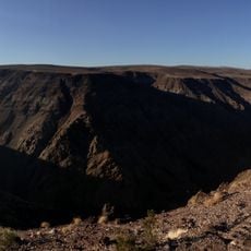
Rainbow Canyon, Canyon in Death Valley National Park, United States.

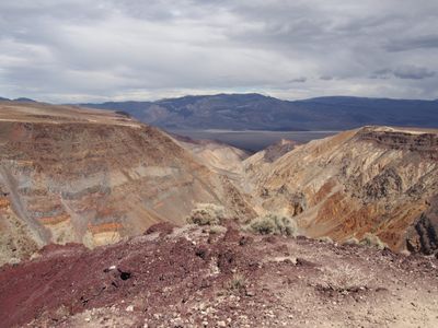
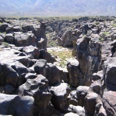
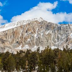
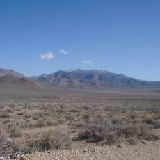
Rainbow Canyon is a canyon within Death Valley National Park featuring steep walls that rise roughly 1,000 feet (300 m), displaying multicolored rock layers in shades of red, grey, and pink. The varied mineral formations create a striking pattern along the rock faces, with a narrow passage accessible from California State Route 190.

The canyon formed millions of years ago through volcanic activity originating from the Darwin Hills, with basalt lava flows and metamorphosed limestone creating its distinctive geology. Subsequent erosion carved the narrow passage visible today.

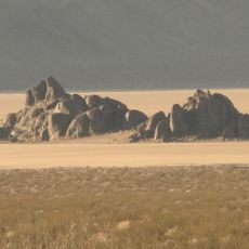
Photographers and aircraft enthusiasts gather at Father Crowley Overlook to watch fighter jets perform training maneuvers through the narrow passage. This activity has made the location a meeting point for people interested in aviation and military operations.

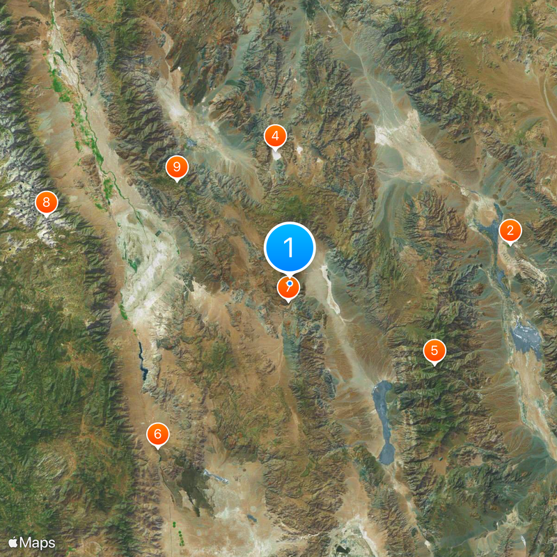
The best viewing location is Father Crowley Overlook, accessible from California State Route 190, though mobile service and facilities are limited in this remote area. Bring adequate water and supplies, as services are sparse nearby.

This location is called Star Wars Canyon because its appearance resembles the planet Tatooine, and military jets fly through the passage at extremely low altitudes near the overlook. Visitors can sometimes watch aircraft pass at close range from the viewing platform.

The community of curious travelers

AroundUs brings together thousands of curated places, local tips, and hidden gems, enriched daily by 60,000 contributors worldwide.

Start exploring
Location
GPS coordinates
36.36250,-117.52000
Latest update
December 14, 2025 19:16
Around this place
Show the full map
« Rainbow Canyon - Canyon in Death Valley National Park, United States » is provided by Around Us (aroundus.com). Images and texts are derived from Wikimedia project under a Creative Commons license. You are allowed to copy, distribute, and modify copies of this page, under the conditions set by the license, as long as this note is clearly visible.

Discover hidden gems everywhere you go!

From secret cafés to breathtaking viewpoints, skip the crowded tourist spots and find places that match your style. Our app makes it easy with voice search, smart filtering, route optimization, and insider tips from travelers worldwide. Download now for the complete mobile experience.

Around Us App Screenshot

A unique approach to discovering new places

Le Figaro

All the places worth exploring

France Info

A tailor-made excursion in just a few clicks

20 Minutes

Around Us
Travel Guide & Maps
Download

Send to your phone

QR Code
1

Open the camera app on your mobile.

2

Point at the QR code with your camera. A notification will appear.

3

Tap the notification to open the link.