Death Valley, Desert valley in Mojave Desert, California, United States.
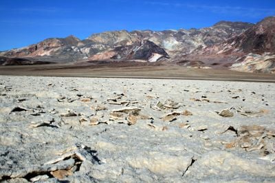
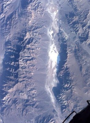
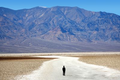
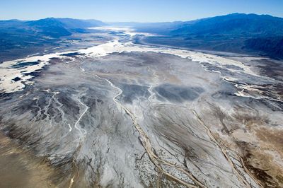
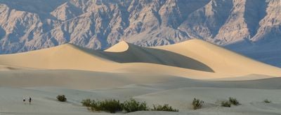
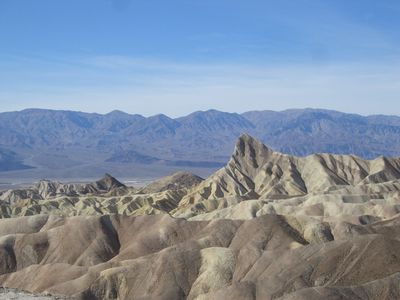
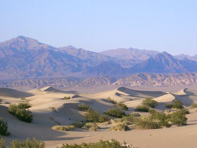
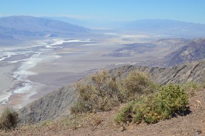
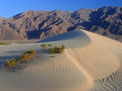
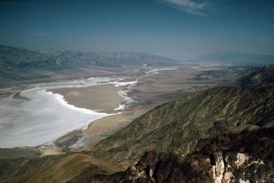
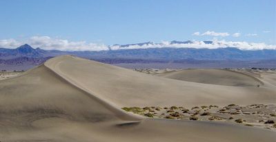
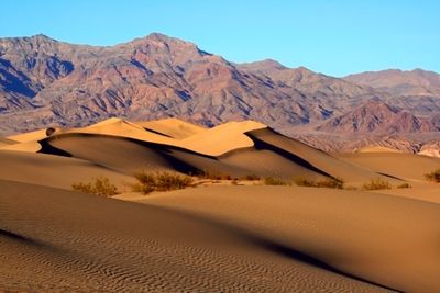
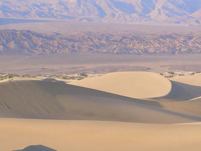
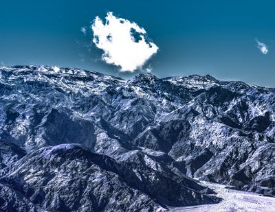
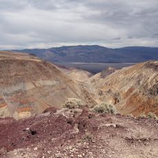
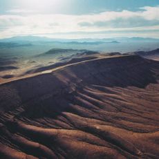
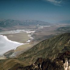
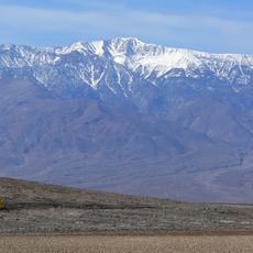
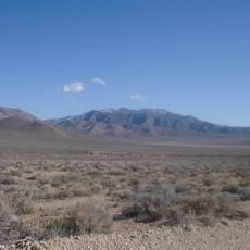
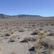
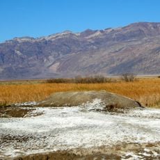
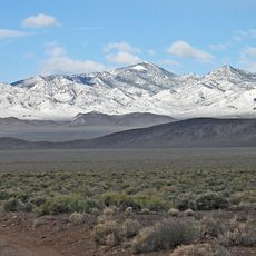
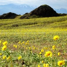
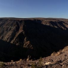
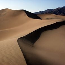
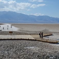
Death Valley is a desert valley in California with salt flats, sand dunes, mountains, and multicolored rock formations ranging from negative 282 feet (negative 86 meters) to 11,049 feet (3,368 meters) in elevation. Badwater Basin marks the lowest point in North America, while Telescope Peak forms the highest, with geological layers of sediments, volcanic rock, and metamorphic formations visible throughout.
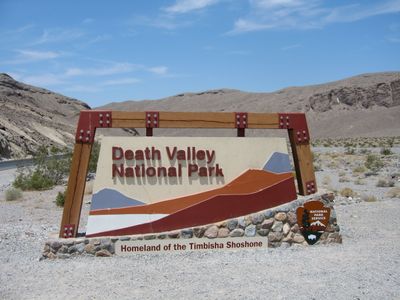
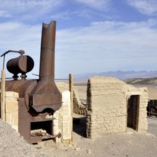
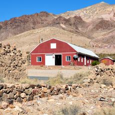
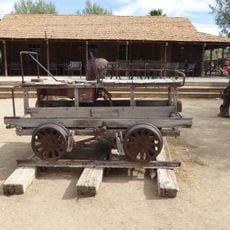
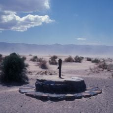
The Timbisha Shoshone have inhabited this region for over a thousand years, adapting their lives to the extreme desert conditions. European settlers reached the area during the California Gold Rush in 1849, with several pioneers perishing, and mining for borax and other minerals dominated the economy from the 1880s onward.
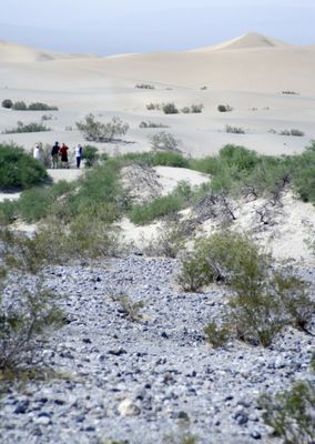
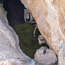
Visitors today can meet members of the Timbisha Shoshone community who maintain their connection to the land through ongoing traditions and residency. Photographers and researchers often work side by side here, documenting light patterns on rock surfaces and studying how organisms survive prolonged heat.
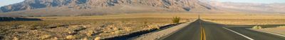
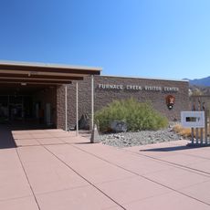
The most comfortable months to visit are November through March, when daytime temperatures range between 60 and 80 degrees Fahrenheit (16 to 27 degrees Celsius). Each visitor should carry more than one gallon (four liters) of water and prepare vehicles with sufficient fuel, as service stations are scarce, while paved roads connect major points of interest.
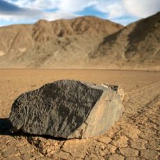
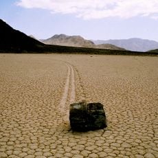
This valley holds the record for the highest reliably measured air temperature on Earth at 134 degrees Fahrenheit (57 degrees Celsius), recorded in Furnace Creek in 1913. Racetrack Playa displays mysterious moving rocks that leave trails across the dry surface, a phenomenon caused by ice formation and wind.
The community of curious travelers
AroundUs brings together thousands of curated places, local tips, and hidden gems, enriched daily by 60,000 contributors worldwide.