Trona Pinnacles, Natural landmark and protected area in California desert, United States.
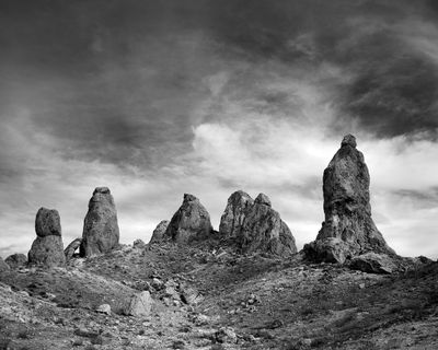
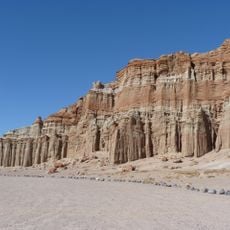
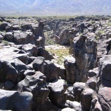
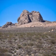
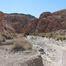
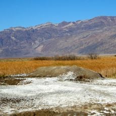
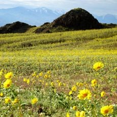
Trona Pinnacles are calcium carbonate towers rising from the dried basin of ancient Searles Lake in the Mojave Desert, with over 500 formations scattered across the landscape. These spires formed through chemical reactions between mineral-rich groundwater and alkaline lake water, creating the distinctive jagged shapes and varying heights that define the site.
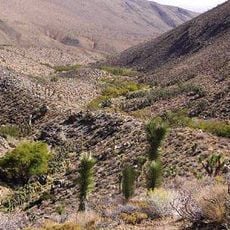
The formations developed during the last ice age when climate conditions were wetter and large lakes covered this desert region before gradually drying out. Scientists recognize these towers as evidence of profound climate shifts that reshaped the landscape over tens of thousands of years.
These stone towers rose from an ancient lake that once covered this region, creating a landscape that feels frozen in time. Visitors walking among the formations experience a direct connection to the geological past, where water and minerals shaped the desert into something otherworldly.
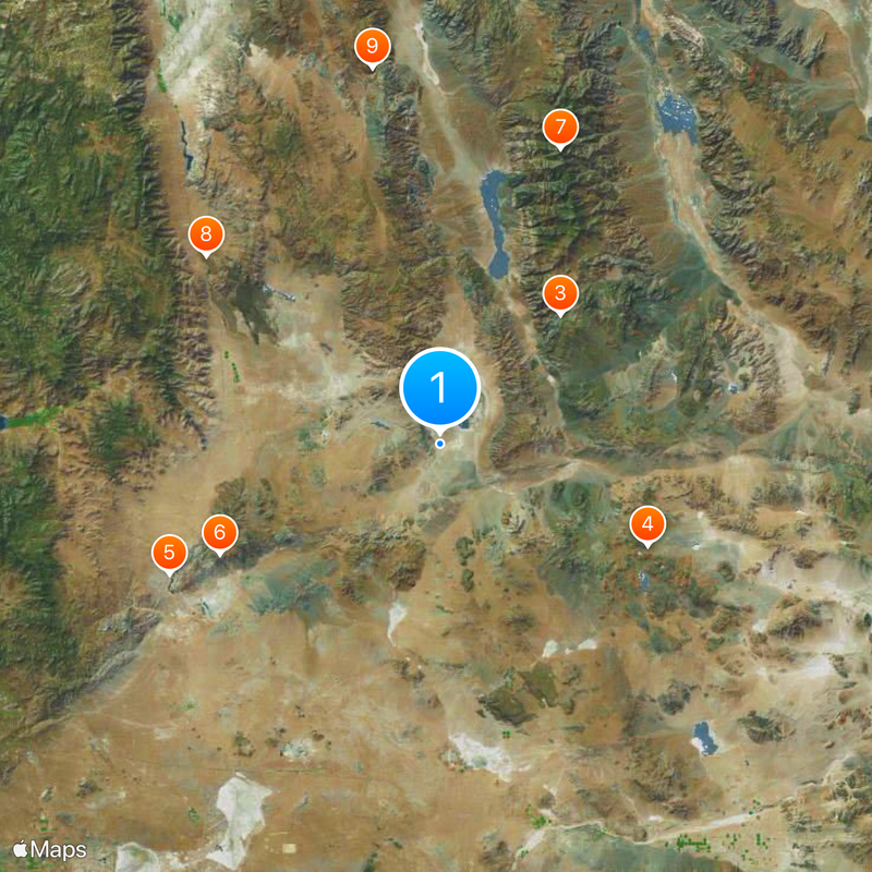
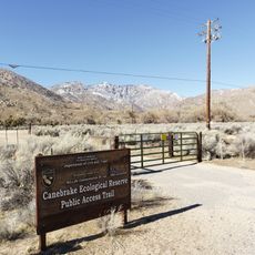
The site can be reached via an unpaved road branching from State Highway 178, allowing visitors to explore the formations on foot without formal restrictions. Facilities are minimal with only one toilet available and no water supply, so bring your own water and supplies for the visit.
The shapes here are more varied than most visitors expect: alongside towering spires, you'll find long rocky ridges and cone-shaped peaks that formed as mineral deposition changed over time. Each formation type tells a different story about how the ancient lake's chemistry evolved.
The community of curious travelers
AroundUs brings together thousands of curated places, local tips, and hidden gems, enriched daily by 60,000 contributors worldwide.