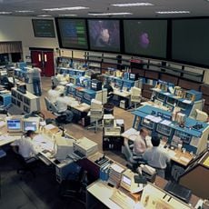
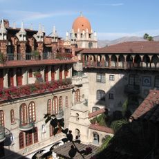
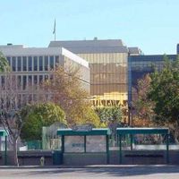
San Bernardino County, County administration center in San Bernardino, United States
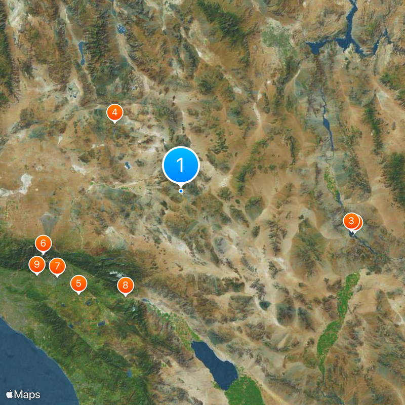
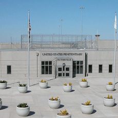
San Bernardino County spreads across 52,070 square kilometers (20,105 square miles) of California territory, covering desert basins, mountain ranges and incorporated cities alongside rural settlements. Its government oversees public services, infrastructure and administrative matters for communities separated by long distances.
This administrative region split from Los Angeles County in 1853, decades after Spanish missions and Mexican land grants had shaped the territory. Mining booms, railroad construction and water projects later drew settlers and reshaped the economy.
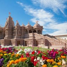
Spanish echoes through markets, festivals and neighborhood gatherings across this region, where families celebrate traditions brought from Mexico and Central America. The food, music and community events carry the warmth of those customs, shaping how people meet, eat and spend their evenings together.
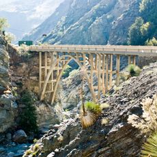
Interstates 10 and 15 cross the territory and connect distant towns with larger centers, while 32 library branches offer local information and services. Travelers should plan for long driving times between places and prepare for hot, dry conditions in the desert zones.
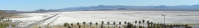
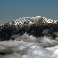
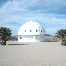
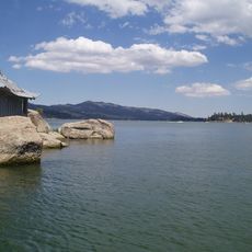
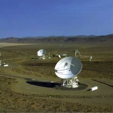
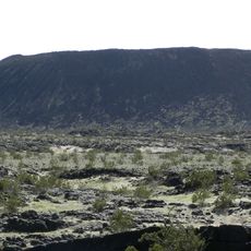
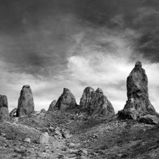
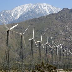
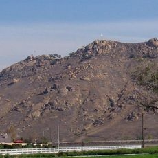
Federal agencies control more than 80 percent of the land here, managing military zones and protected wilderness areas that remain off-limits to the public. Much of the territory stays uninhabited, revealing raw desert scenery that few visitors see.
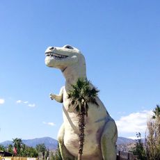
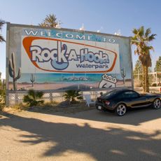
The community of curious travelers
AroundUs brings together thousands of curated places, local tips, and hidden gems, enriched daily by 60,000 contributors worldwide.