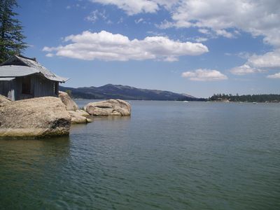
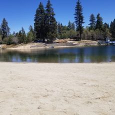
Big Bear Lake, Mountain reservoir in San Bernardino National Forest, California.
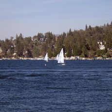
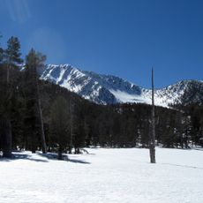
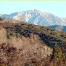
Big Bear Lake stretches eleven kilometers in length and reaches a maximum depth of 22 meters (72 feet) at an elevation of 2,055 meters (6,743 feet) in southern California. The body of water sits between forested mountains in San Bernardino National Forest and shows a calm surface during summer, while it can freeze over in winter.
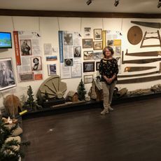
The Serrano people lived in the area for over 2,500 years and called it Yuhaviat before Benjamin Wilson explored the location in the mid nineteenth century. The reservoir came into existence in 1884 after a company built a dam to provide irrigation water for southern California orchards.
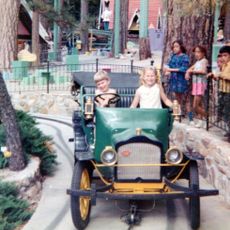
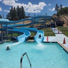
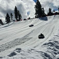
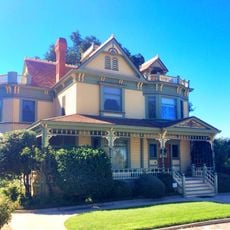
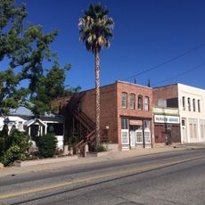
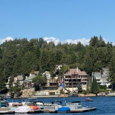
The name comes from grizzly bears that lived in the area before settlers built the reservoir, flooding the original valley behind an earth dam. Today visitors arrive for fishing charters, skiing and hiking trails, while the shoreline communities welcome crowds from Los Angeles and surrounding cities during winter months.
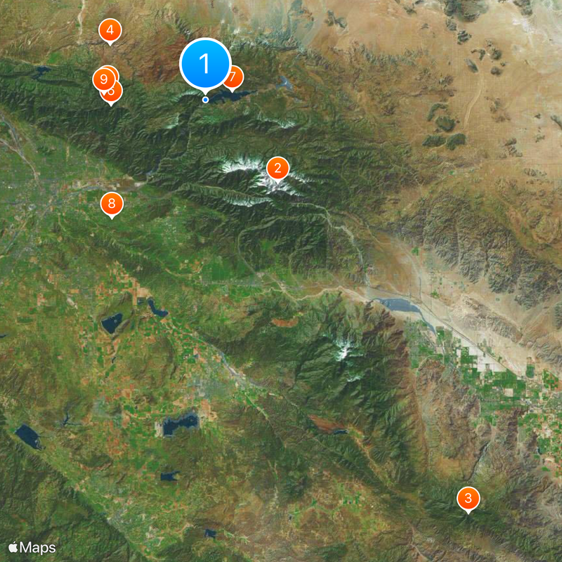
Three main routes allow access: Highway 330 from San Bernardino, Highway 38 from Redlands, and Highway 18 from Victorville, with all roads involving winding mountain passes and elevation changes. Tire chains are required during winter months, while summer days tend to be sunny and dry with possible afternoon thunderstorms.
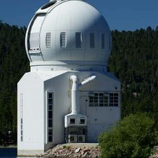
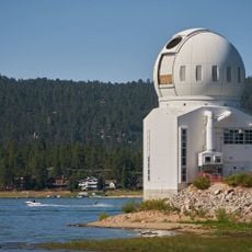
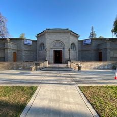
The Big Bear Solar Observatory was built in 1968 on the north shore and uses the elevation for solar research. The facility monitors solar magnets and sunspots, while visitors can sometimes tour the grounds during special events and guided visits.
The community of curious travelers
AroundUs brings together thousands of curated places, local tips, and hidden gems, enriched daily by 60,000 contributors worldwide.