San Gorgonio Mountain, Mountain peak in San Bernardino National Forest, California, US
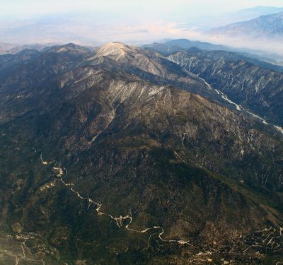
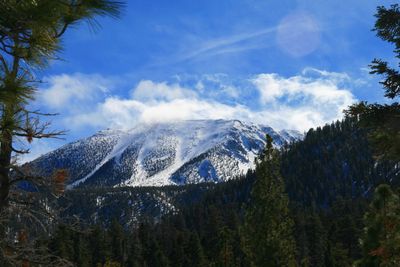
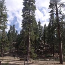
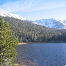
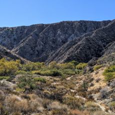
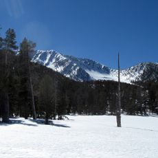
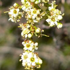
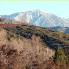
San Gorgonio Mountain is a summit in San Bernardino National Forest, California, rising to 11,503 feet (3,506 meters) above sea level. The mountain rises above terrain of pine forest and alpine meadows that transitions into rock scree and open ridgelines.
Missionaries from Spain gave the mountain its name during their explorations in the early 17th century. Surveyors in the 19th century later marked the summit as the highest point south of the Sierra Nevada.
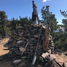
The peak bears the name of a third-century Christian martyr whom Spanish missionaries associated with this mountain range. Hikers find panels at the trailhead explaining the quota system that limits visitor numbers to protect the alpine zone.
Hikers often start before sunrise to avoid afternoon thunderstorms in summer and to allow enough time for the return trip. The route passes through several climate zones, from conifer forest to treeless high country, so layered clothing helps.
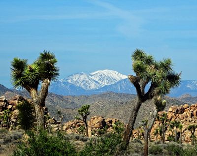
On clear days the summit allows views of Mount Whitney located over 190 miles away. This line of sight ranks among the longest on the North American mainland.
The community of curious travelers
AroundUs brings together thousands of curated places, local tips, and hidden gems, enriched daily by 60,000 contributors worldwide.