Chest opened
+${chestReward.xp} XP
Explorer
NOUVEAU ×${chestReward.collectible.quantity}
tapez pour fermer

See the monuments around you in AR Open chests in the app

Around Us is built for your phone — point your camera at the streets and discover the monuments and places around you in augmented reality. Around Us is built for your phone — chests unlock when you walk, explore and capture nearby places.

•

Enable Location

We need your location to show you interesting places around you

Discover nearby places

Find interesting locations and hidden gems around you

Precise directions

Get accurate directions and distances to places

Your location is never shared with other users. It's only used when you tap the location button.

Sand to Snow National Monument

Log in to your account

Start exploring — it's free

Trusted by 92,844 travelers worldwide

Continue with Google
Continue with Apple
or

We will send you a code to connect

By continuing, you accept our Terms and Conditions and our Privacy Policy

Check your inbox

We've sent a pincode in your inbox. Please enter the code below.

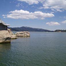
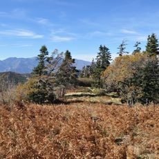
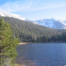
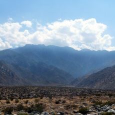
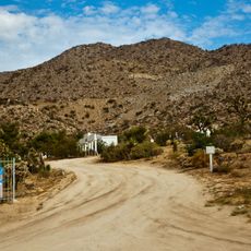
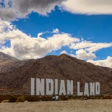
Sand to Snow National Monument, Nature reserve in Riverside County, California, United States.

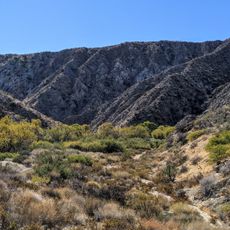
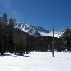
Sand to Snow National Monument covers 154,000 acres in San Bernardino and Riverside counties, from about 300 m on the Coachella Valley floor to over 3,400 m in the San Bernardino Mountains. The Forest Service manages 71,000 acres and the Bureau of Land Management 83,000 acres; over 100,000 acres lie within the San Gorgonio Wilderness, and a detached section, Black Lava Butte, extends the Bighorn Mountain Wilderness.

Sand to Snow National Monument was designated by President Barack Obama on February 12, 2016, under the Antiquities Act, together with Castle Mountains and Mojave Trails national monuments. It drew on The Wildlands Conservancy's twenty-year Sand to Snow Wilderness Interface Project, which had acquired over 60,000 acres of private land, including properties threatened with development. Much of the monument was already protected: San Gorgonio Wilderness was designated by Congress in 1964, and Big Morongo Canyon became a wildlife reserve in 1982.

The monument's German-language documentation records an estimated 1,700 petroglyphs left by early Native American cultures within its boundaries. The name comes from the elevation range, roughly 300 m on the Coachella Valley floor to over 3,400 m in the San Bernardino Mountains. Big Morongo Canyon, the monument's most developed section, is noted for waterbirds; 240 bird species have been recorded.

The Pacific Crest National Scenic Trail runs 30 miles (48 km) through the monument, entering from the San Bernardino National Forest and crossing the San Gorgonio Wilderness. Elevations range from about 300 m on the Coachella Valley floor to over 3,400 m, so snow can persist on the high ridges while the desert floor stays warm. Big Morongo Canyon Preserve, the monument's most developed section, has the easiest paths.

The monument holds an estimated 1,700 petroglyphs left by early Native American cultures, mostly on rock faces in its desert sections. It also contains the headwaters of the Santa Ana, Whitewater, Morongo and San Gorgonio rivers. Big Morongo Canyon, its most developed area, is a noted site for water birds.

The community of curious travelers

AroundUs brings together thousands of curated places, local tips, and hidden gems, enriched daily by 92,844 contributors worldwide.

Start exploring
Location
Operator
United States Forest Service;Bureau of Land Management
GPS coordinates
34.05671,-116.70282
Latest update
October 24, 2026 11:53
Around this place
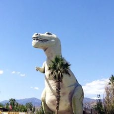
Cabazon Dinosaurs
United States of America

Cabazon Dinosaurs

10.3 mi
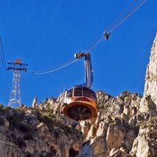
Palm Springs Aerial Tramway
United States of America

Palm Springs Aerial Tramway

16.6 mi
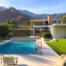
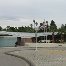
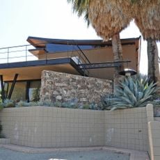
Kaufmann Desert House
United States of America

Kaufmann Desert House

17 mi
San Jacinto Peak
United States of America

San Jacinto Peak

16.8 mi
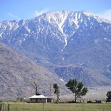
San Gorgonio Mountain
United States of America

San Gorgonio Mountain

7.6 mi
Big Bear
United States of America

Big Bear

18.3 mi
San Bernardino National Forest
United States of America

San Bernardino National Forest

23.9 mi
San Gorgonio Pass
United States of America

San Gorgonio Pass

10.1 mi
Big Bear Solar Observatory
United States of America

Big Bear Solar Observatory

18.9 mi
San Gorgonio Wilderness
United States of America

San Gorgonio Wilderness

0.3 mi
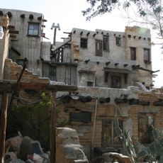
Cabot's Pueblo Museum
United States of America

Cabot's Pueblo Museum

14.4 mi
Tramway Gas Station
United States of America

Tramway Gas Station

16 mi
Big Morongo Canyon Preserve
United States of America

Big Morongo Canyon Preserve

9.1 mi
Big Bear Discovery Center
United States of America

Big Bear Discovery Center

18.4 mi
Chino Canyon
United States of America

Chino Canyon

15.3 mi
Gilman Ranch
United States of America

Gilman Ranch

14.1 mi
Desert Christ Park
United States of America

Desert Christ Park

15.9 mi
Goode Solar Telescope
United States of America

Goode Solar Telescope

18.7 mi
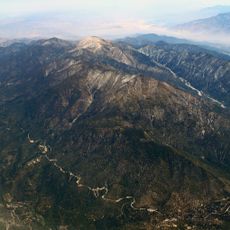
Jepson Peak
United States of America

Jepson Peak

8.7 mi
Dr. Franz Alexander House
United States of America

Dr. Franz Alexander House

16.8 mi
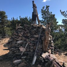
Henry Washington Survey Marker
United States of America

Henry Washington Survey Marker

13.7 mi
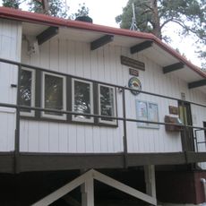
Long Valley Ranger Station
United States of America

Long Valley Ranger Station

17.2 mi
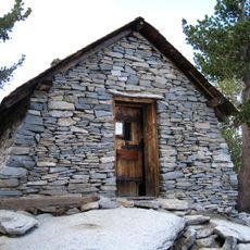
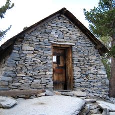
Peak Shelter Cabin
United States of America

Peak Shelter Cabin

16.8 mi
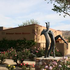
Hi-Desert Nature Museum
United States of America

Hi-Desert Nature Museum

17 mi
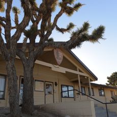
Black Rock Nature Center
United States of America

Black Rock Nature Center

17.9 mi
Black Rock Campground
United States of America

Black Rock Campground

18 mi
Mount San Jacinto State Park Historic District
United States of America

Mount San Jacinto State Park Historic District

16.8 mi
Never Forget
United States of America

Never Forget

16 mi
Show the full map
Reviews
Share your experience

No review yet

Discussions
Start a discussion...

No discussion yet

« Sand to Snow National Monument - Nature reserve in Riverside County, California, United States » is provided by Around Us (aroundus.com). Images and texts are derived from Wikimedia project under a Creative Commons license. You are allowed to copy, distribute, and modify copies of this page, under the conditions set by the license, as long as this note is clearly visible.

Discover hidden gems everywhere you go!

From secret cafés to breathtaking viewpoints, skip the crowded tourist spots and find places that match your style. Our app makes it easy with voice search, smart filtering, route optimization, and insider tips from travelers worldwide. Download now for the complete mobile experience.
Around Us App Screenshot
❝

A unique approach to discovering new places❞

— Le Figaro

❝

All the places worth exploring❞

— France Info

❝

A tailor-made excursion in just a few clicks❞

— 20 Minutes

Around Us
Travel Guide & Maps
Download

Send to your phone

QR Code
1

Open the camera app on your mobile.

2

Point at the QR code with your camera. A notification will appear.

3

Tap the notification to open the link.