Enable Location

We need your location to show you interesting places around you

Discover nearby places

Find interesting locations and hidden gems around you

Precise directions

Get accurate directions and distances to places

Your location is never shared with other users. It's only used when you tap the location button.

Riverside County

Log in to your account

Start exploring — it's free

Trusted by travelers worldwide

Continue with Google
Continue with Apple
or

We will send you a code to connect

By continuing, you accept our Terms and Conditions and our Privacy Policy

Check your inbox

We've sent a pincode in your inbox. Please enter the code below.

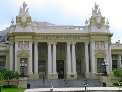
Riverside County, Administrative county in Southern California, US

Description

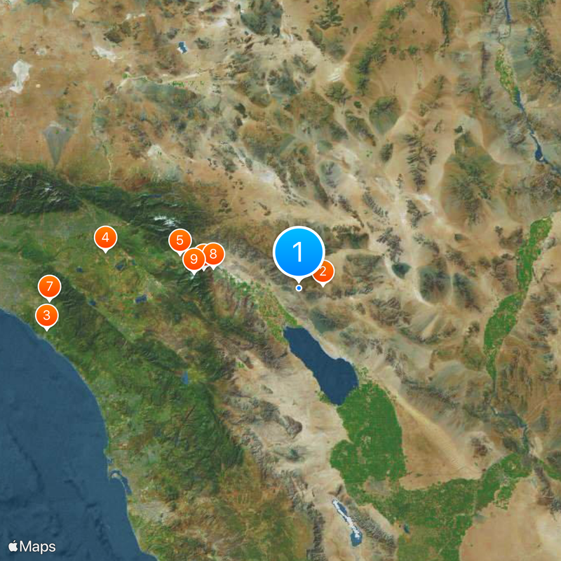
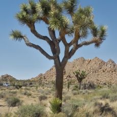
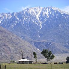
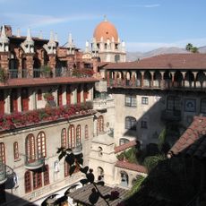
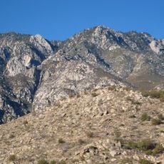
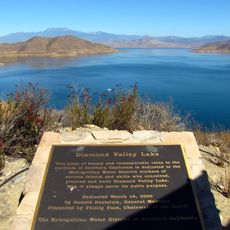
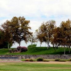
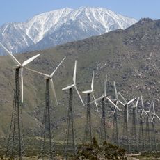
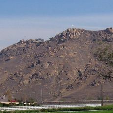
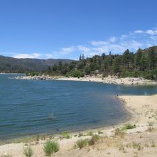
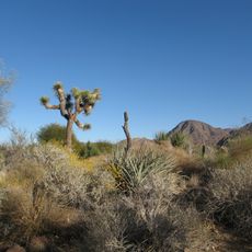
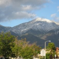
Riverside County is an administrative region in Southern California that covers desert landscapes and mountain ranges. The area includes several smaller cities and numerous rural communities.

History

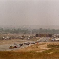
The area separated from other administrative units in 1893 to form its own county. Development accelerated through citrus farming and later expansion as settlers moved from urban centers.

Culture

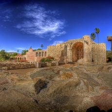
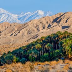
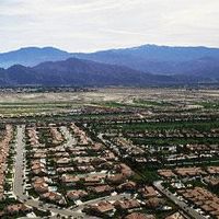
The Coachella Valley became one of the world's most recognized festival locations, drawing music fans from every continent each spring. Winter sports enthusiasts ski at higher elevations while others relax by the pool in the valley during the same season.

Practical

Visitors reach different towns through highways that run across the territory. A regional airport offers connections to larger cities on the West Coast.

Did you know?

The Coachella Valley region transforms once a year into a music destination that draws visitors from around the world. This event shapes the local economy and fills hotels and campsites far beyond the actual venue grounds.

Location
Inception
1893
Capital city
Riverside
Shares border with
San Bernardino County, La Paz County, San Diego County, Imperial County, Orange County
GPS coordinates
33.73000,-115.98000
Latest update
December 16, 2025 01:17

AroundUs brings together thousands of curated places, local tips, and hidden gems, enriched daily by 60,000 contributors worldwide. Discover all places nearby (California).

Around this place
Joshua Tree National Park
United States of America

Joshua Tree National Park

15 km
Mission San Juan Capistrano
United States of America

Mission San Juan Capistrano

158 km
Riverside International Raceway
United States of America

Riverside International Raceway

121.7 km
Cabazon Dinosaurs
United States of America

Cabazon Dinosaurs

76.3 km
Palm Springs Aerial Tramway
United States of America

Palm Springs Aerial Tramway

59.9 km
Saddleback Church
United States of America

Saddleback Church

154.6 km
Kaufmann Desert House
United States of America

Kaufmann Desert House

54.4 km
San Jacinto Peak
United States of America

San Jacinto Peak

65.4 km
Mission Inn
United States of America

Mission Inn

131.8 km
Forever Marilyn
United States of America

Forever Marilyn

53.6 km
United States of America

Ontario Motor Speedway

151.5 km
Blythe Intaglios
United States of America

Blythe Intaglios

133.6 km
Sunnylands
United States of America

Sunnylands

40.2 km
United States of America

Forest Lawn Cemetery

43.7 km
Cactus to Clouds Trail
United States of America

Cactus to Clouds Trail

53.9 km
Diamond Valley Lake
United States of America

Diamond Valley Lake

97.8 km
Riverside National Cemetery
United States of America

Riverside National Cemetery

120.8 km
San Gorgonio Pass
United States of America

San Gorgonio Pass

74.3 km
Mount Rubidoux
United States of America

Mount Rubidoux

133.6 km
Lake Mathews
United States of America

Lake Mathews

135.7 km
Chuckawalla Valley State Prison
United States of America

Chuckawalla Valley State Prison

101 km
Planes of Fame Air Museum
United States of America

Planes of Fame Air Museum

156 km
Lake Hemet
United States of America

Lake Hemet

66.5 km
Living Desert Zoo and Gardens
United States of America

Living Desert Zoo and Gardens

34.6 km
Santiago Peak
United States of America

Santiago Peak

143.9 km
Sand to Snow National Monument
United States of America

Sand to Snow National Monument

76.1 km
Lake Norconian Club
United States of America

Lake Norconian Club

148.6 km
March Field Air Museum
United States of America

March Field Air Museum

120.2 km
Show the full map
Administrative divisions
« Riverside County - Administrative county in Southern California, US » is provided by Around Us (aroundus.com). Images and texts are derived from Wikimedia project under a Creative Commons license. You are allowed to copy, distribute, and modify copies of this page, under the conditions set by the license, as long as this note is clearly visible.

Discover hidden gems everywhere you go!

From secret cafés to breathtaking viewpoints, skip the crowded tourist spots and find places that match your style. Our app makes it easy with voice search, smart filtering, route optimization, and insider tips from travelers worldwide. Download now for the complete mobile experience.

Around Us App Screenshot

A unique approach to discovering new places

Le Figaro

All the places worth exploring

France Info

A tailor-made excursion in just a few clicks

20 Minutes

Around Us
Travel Guide & Maps
Download

Send to your phone

QR Code
1

Open the camera app on your mobile.

2

Point at the QR code with your camera. A notification will appear.

3

Tap the notification to open the link.