Riverside

Log in to your account

AroundUs is a community-driven map of interesting places, built by curious explorers like you. It grows with every review, story, and photo you share.
Connect to save your favorite spots, contribute locations, and create personalized routes.
Continue with Google
Continue with Apple
Continue with X
Continue with Facebook
Continue with email
By continuing, you accept our Terms and Conditions and our Privacy Policy
Create an account
Add to collection
Map
Suggest a change
Share

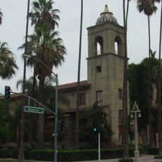
Riverside, County seat in Riverside County, California

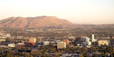
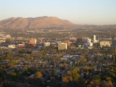
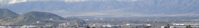
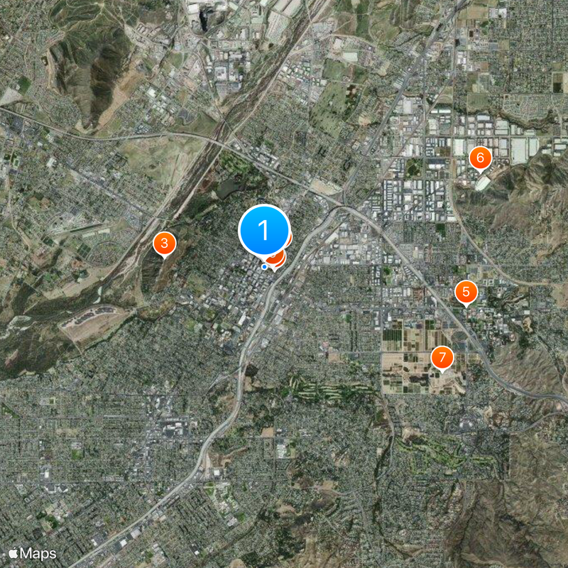
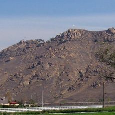
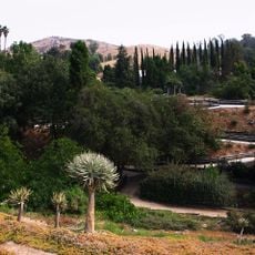
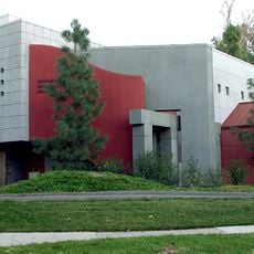
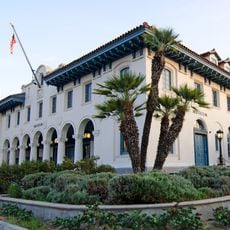
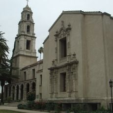
Riverside sits along the Santa Ana River and includes residential neighborhoods, shopping districts, the University of California campus, and farmland within its limits. The city spreads from the riverbanks toward the foothills of nearby mountains, blending urban development with open agricultural land.

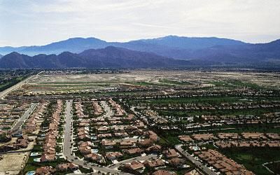
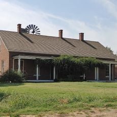
Settlers planted navel orange trees here in 1874, turning the area into the birthplace of California's citrus industry. Over the following decades, orchards covered much of the valley until urban growth gradually replaced them with housing and commercial buildings.

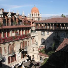
Local families gather in public parks along the river for weekend picnics and outdoor activities, creating a relaxed community atmosphere. Farmers markets and street festivals downtown bring together vendors selling fresh produce, handmade crafts, and regional food specialties.

Highway access through Interstate 215 and State Route 60 makes getting around straightforward, while Metrolink trains connect to neighboring counties. Many attractions cluster downtown within walking distance, but reaching outlying areas works better with a car.

A section of the first transcontinental highway in the United States, the historic Highway 60, runs directly through downtown and recalls early automobile travel. Some original orange groves still survive between modern subdivisions, offering rare glimpses into the region's agricultural past.

Location: Riverside County

Inception: 1870

Shares border with: Rialto, Moreno Valley

Website: https://riversideca.gov

GPS coordinates: 33.98222,-117.37250

Latest update: December 12, 2025 19:33

Photos
Around this place
Mission Inn
United States of America

Mission Inn

126 m
Mount Rubidoux
United States of America

Mount Rubidoux

1.9 km
Harada House
United States of America

Harada House

436 m
University of California, Riverside Citrus Variety Collection
United States of America

University of California, Riverside Citrus Variety Collection

3.9 km
Riverside International Automotive Museum
United States of America

Riverside International Automotive Museum

4.5 km
United States of America

University of California Citrus Experiment Station

3.9 km
Riverside Art Museum
United States of America

Riverside Art Museum

205 m
Riverside Municipal Auditorium
United States of America

Riverside Municipal Auditorium

154 m
University of California, Riverside Botanic Gardens
United States of America

University of California, Riverside Botanic Gardens

5 km
Jensen Alvarado Ranch
United States of America

Jensen Alvarado Ranch

4.3 km
UCR Soccer Stadium
United States of America

UCR Soccer Stadium

4.1 km
United States of America

Islamic Center of Riverside

3.5 km
Entomology Research Museum
United States of America

Entomology Research Museum

4.5 km
Museum of Riverside
United States of America

Museum of Riverside

30 m
First Congregational Church of Riverside
United States of America

First Congregational Church of Riverside

142 m
United States of America

Mount Rubidoux Manor

603 m
United States of America

Masonic Temple

464 m
United States of America

Center for Social Justice and Civil Liberties

361 m
United States of America

Sugarloaf Mountain

4.8 km
United States of America

Victoria Hill

2.5 km
Adams Motorsports Park
United States of America

Adams Motorsports Park

3.1 km
United States of America

Mission Boulevard Bridge

2.1 km
United States of America

Riverside observatory

1.2 km
United States of America

Fairmont Park Golf Course

2.1 km
United States of America

Victoria Club

2.5 km
United States of America

Canyon Crest Country Club

4.9 km
United States of America

Cross

1.9 km
United States of America

The Boy Scout

420 m
Show the full map
Reviews

Visited this place? Tap the stars to rate it and share your experience / photos with the community! Try now! You can cancel it anytime.

« Riverside - County seat in Riverside County, California » is provided by Around Us (aroundus.com). Images and texts are derived from Wikimedia project under a Creative Commons license. You are allowed to copy, distribute, and modify copies of this page, under the conditions set by the license, as long as this note is clearly visible.

Discover hidden gems everywhere you go!

From secret cafés to breathtaking viewpoints, skip the crowded tourist spots and find places that match your style. Our app makes it easy with voice search, smart filtering, route optimization, and insider tips from travelers worldwide. Download now for the complete mobile experience.

Around Us App Screenshot

A unique approach to discovering new places

Le Figaro

All the places worth exploring

France Info

A tailor-made excursion in just a few clicks

20 Minutes