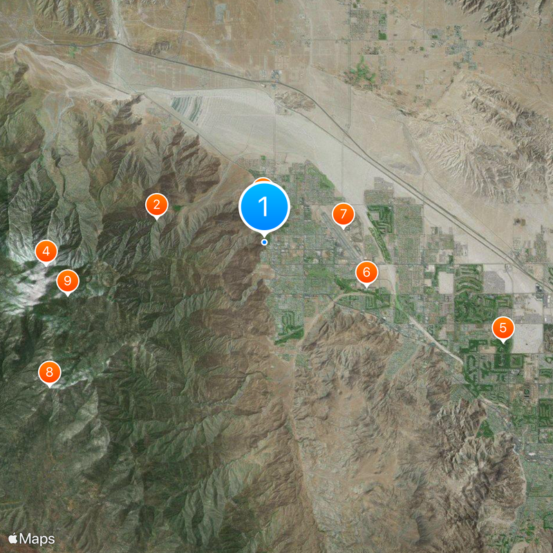
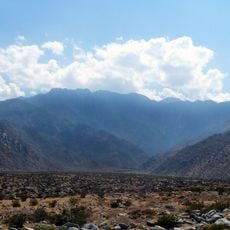
Cactus to Clouds Trail, Mountain trail in Palm Springs, United States
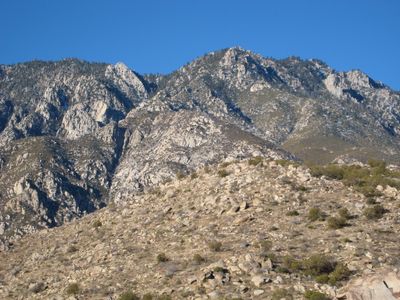
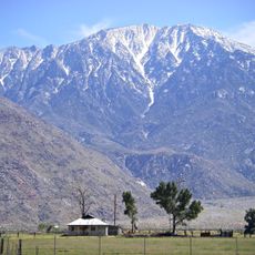
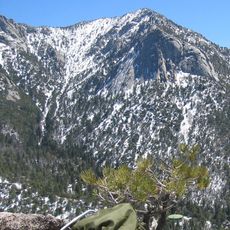
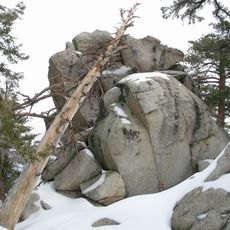
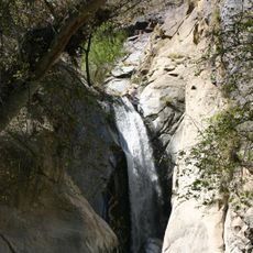
The Cactus to Clouds Trail starts near the Palm Springs Art Museum and climbs roughly 16 miles to the summit of San Jacinto Peak at 10,300 feet (3,140 meters). The path crosses dry desert terrain, rocky slopes, and eventually conifer forest in the upper section.
Ray Wilson and Sue Birnbaum from the Coachella Valley Hiking Club marked the final miles with yellow metal tags in 1991, making the route official. Before that, the connection existed only as an informal line among climbers.
The route is also known locally as the Skyline Trail and many use it to train for endurance challenges across different climate zones. The shift from hot desert floor to cool summit forest within hours draws experienced hikers who value the rapid environmental change.
Carry several liters of water and start very early in the morning, as temperatures in the lower section rise quickly. The elevation change requires good physical preparation and protection against both sun and cold.
The route ranks among the steepest day hikes in North America and gains over 10,000 feet (3,000 meters) without interruption. Many hikers report that the temperature difference between start and summit can exceed 30 degrees Celsius (54 degrees Fahrenheit).
The community of curious travelers
AroundUs brings together thousands of curated places, local tips, and hidden gems, enriched daily by 60,000 contributors worldwide.