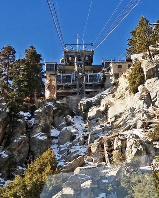
Palm Springs Aerial Tramway Mountain Station, Mountaintop station in Mount San Jacinto State Park, California.
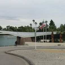
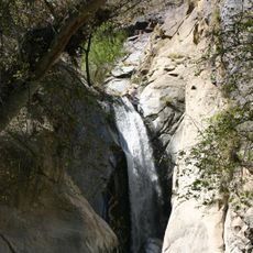
The Palm Springs Aerial Tramway Mountain Station is a multi-story building at the top of Mount San Jacinto in Southern California, combining wood and glass on the upper level with a reinforced concrete base. It sits within Mount San Jacinto State Park and connects directly to a network of hiking trails that fan out through the surrounding wilderness.
Architect E. Stewart Williams designed the station in the early 1960s as the upper terminal of the Palm Springs Aerial Tramway, drawing on Alpine building styles for its wood and glass construction. The building was listed on the National Register of Historic Places in 2016, recognizing its place in both regional transportation and mid-century architecture.
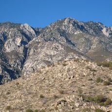
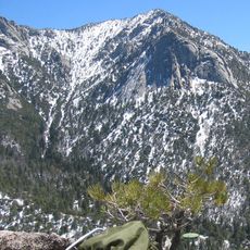
Stepping off the tram at the mountain station feels like entering a different world, with pine trees and cool air replacing the desert heat below. Many visitors spend time on the outdoor deck simply looking out over the Coachella Valley before deciding whether to hike or head back down.
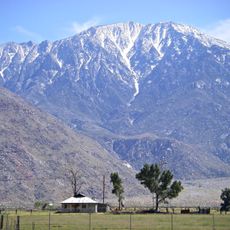
The station sits at around 8,500 feet (about 2,600 meters), so temperatures are much cooler than on the desert floor, even in summer. Bringing an extra layer and sturdy shoes is a good idea, especially if you plan to walk any of the nearby trails.
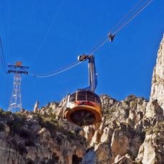
The tram ride from the desert floor to the mountain top takes only a few minutes but covers a change in elevation that is comparable to traveling from Mexico to Alaska in terms of climate zones. On a hot summer day, the temperature difference between the bottom and top stations can be more than 54 degrees Fahrenheit (30 degrees Celsius).
The community of curious travelers
AroundUs brings together thousands of curated places, local tips, and hidden gems, enriched daily by 60,000 contributors worldwide.