San Gorgonio Wilderness, Nature reserve in Riverside County, US
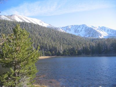
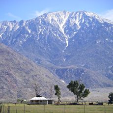
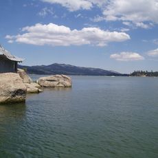
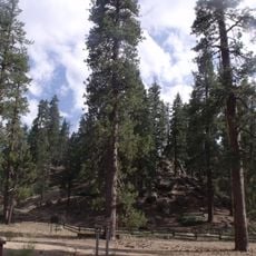
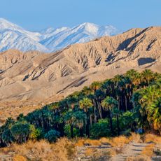
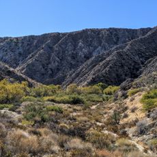
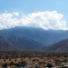
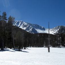
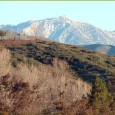
San Gorgonio Wilderness is a nature reserve in Riverside County that spans 58,000 acres of mountainous terrain with dense forests, alpine meadows, and peaks reaching 11,503 feet. The area contains two small lakes and multiple ecological zones ranging from low foothill environments at 2,300 feet to mountain landscapes at the highest elevations.
The wilderness designation in 1964 marked an important milestone for conservation in Southern California, making it one of the first officially protected natural areas in the region. Protecting these lands during a period of growing industrial development reflected an early understanding of the value of unspoiled landscapes.
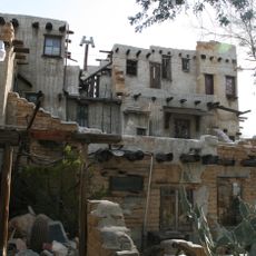
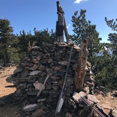
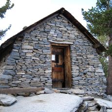
The area was home to Native American peoples for thousands of years, who left traces of their presence through archaeological sites and traditional travel routes. Visitors can still follow these historic pathways while exploring the landscape on foot.
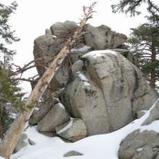
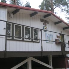
Visitors need permits for overnight stays and should carry sufficient water since many streams dry up during summer months. Planning your route in advance and packing gear for changing weather conditions will help you prepare for this terrain.
The area offers an extraordinary elevation gradient with dramatic differences between its lowest and highest points across a relatively short distance. This range allows hikers to experience multiple climate zones and vegetation types in a single day.
The community of curious travelers
AroundUs brings together thousands of curated places, local tips, and hidden gems, enriched daily by 60,000 contributors worldwide.