Colorado River Aqueduct, Water conveyance system in Southern California, US
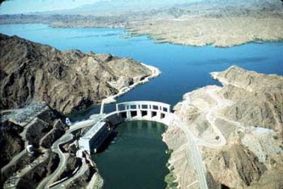
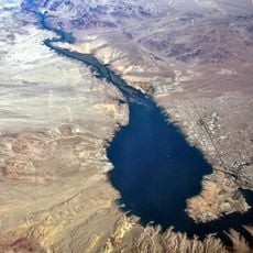
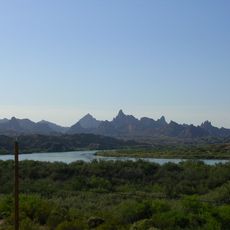
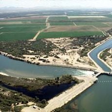
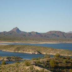
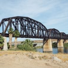
The Colorado River Aqueduct is a water conveyance system in Southern California that moves water across long distances through channels and pipelines. It brings water from the Colorado River to Lake Havasu and then onward to the populated regions south of Los Angeles.
The aqueduct was planned during the 1930s and completed in 1941 as a massive infrastructure project of its era. It employed tens of thousands of workers and required years of construction to connect the Colorado River to the growing cities of the south.
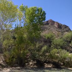
The aqueduct represents a human effort to reshape the land and make settlement possible where water was scarce. For residents across Southern California, it remains a symbol of the region's growth and dependence on distant water sources.
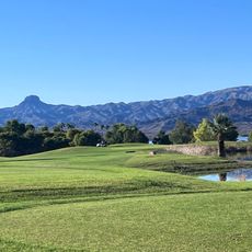
Most of the aqueduct is not open to public access, but portions are visible from nearby roads and viewpoints along its route. Visiting related water management sites or learning about the system helps understand how the region receives its water supply.
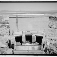
Large pumping stations along the route push water uphill over desert terrain, an engineering approach that was revolutionary for its time. This method proved that water could be transported across vast distances and significant elevation changes.
The community of curious travelers
AroundUs brings together thousands of curated places, local tips, and hidden gems, enriched daily by 60,000 contributors worldwide.