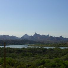
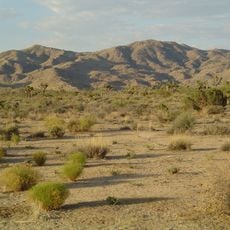
Turtle Mountains, National Natural Landmark and mountain range in San Bernardino County, California.
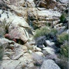
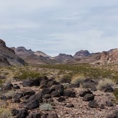
The Turtle Mountains extend in a north-south direction and feature a peak elevation around 4,300 feet, displaying diverse rock formations in shades of red, brown, tan, gray, and black. The range contains varied mineral compositions that create visual patterns changing with light and viewing angle throughout the day.
The range shows evidence of volcanic activity in ancient times and was shaped by major crustal movements during the Mesozoic era. These geological shifts formed the structure visible today, creating the varied rock colors and patterns throughout the mountains.
Indigenous peoples of the region, including the Mojave, relied on these mountains as essential terrain for their lives. The landscape still reflects how people understood and moved through this land over centuries.
The area is best reached via U.S. Route 95 located several dozen miles southwest of Needles in the region. Natural springs scattered throughout the range provide water sources for visitors exploring the wilderness.
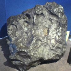
The area is known for special chalcedony mineral specimens called Mopah roses that attract collectors from far away. These unusual stones formed through natural geological processes and make the place noteworthy for those interested in minerals.
The community of curious travelers
AroundUs brings together thousands of curated places, local tips, and hidden gems, enriched daily by 60,000 contributors worldwide.