Bill Williams River National Wildlife Refuge, Wildlife refuge in Mohave County, United States.
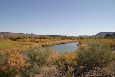
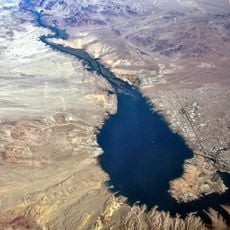
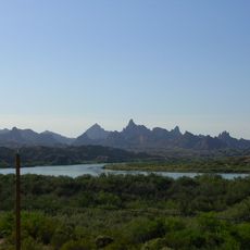
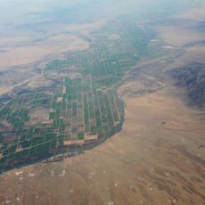
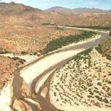
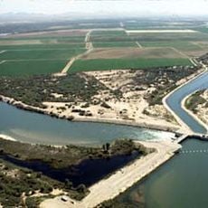
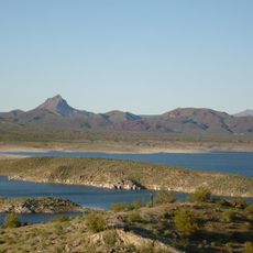
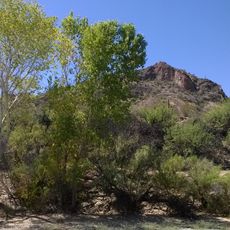
Bill Williams River National Wildlife Refuge is a protected area in Mohave County, Arizona, spanning 6,105 acres where the Mojave and Sonoran deserts meet along the river. The terrain includes cottonwood-willow forests, open water channels, and desert scrubland that create diverse habitats for wildlife.
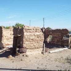
Federal authorities established a conservation area here in 1941, with the site officially designated as Bill Williams River National Wildlife Refuge in 1993. The action aimed to protect the river ecosystem and its surrounding natural environment from further development.
The Friends of Bill Williams River organization supports the refuge through educational programs, fundraising activities, and maintenance assistance throughout the year.
You can enter the refuge from several access points and explore trails on foot, paddle down the river by kayak, or observe wildlife from designated viewing areas. The most comfortable season to visit is fall through spring when temperatures are moderate and outdoor activities are most enjoyable.
This refuge contains the largest surviving cottonwood-willow forest along the lower Colorado River, a rare woodland system in this arid landscape. The forest provides critical resting and feeding grounds for more than 330 bird species that migrate through the region.
The community of curious travelers
AroundUs brings together thousands of curated places, local tips, and hidden gems, enriched daily by 60,000 contributors worldwide.