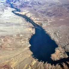
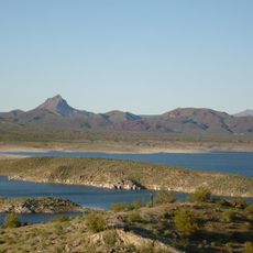
Buckskin Mountain State Park, State park on Colorado River near Parker, Arizona, US.
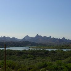
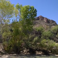
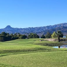
Buckskin Mountain State Park is a state-managed recreational area along the Colorado River near Parker, Arizona, where rocky desert mountains rise directly from the water's edge. The site features camping accommodations, boat launch facilities, hiking paths, and recreation grounds spread across the riverfront property.
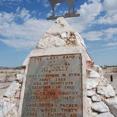
The park was created in 1967 on land within the ancestral territory of the Mohave and Chemehuevi peoples along the Colorado River. The region served as a home for these communities long before becoming a modern recreational facility.
The park serves as a gathering place where visitors connect with the Colorado River landscape that has been home to Indigenous peoples for centuries. Families and groups use the riverside setting for recreation while being part of the same land that shaped the region's history.
It is best reached by private vehicle, and visitors should bring plenty of water and sun protection as the desert heat can be intense. Trails and facilities are clearly marked, making it straightforward to navigate the park on foot or by boat.
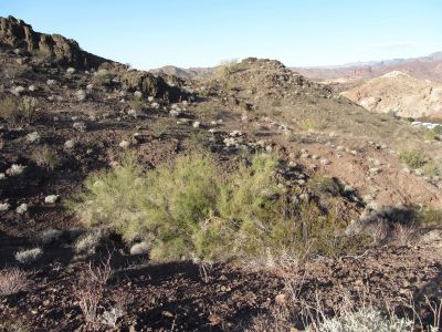
The Lightning Bolt Trail is a steep short walk that leads to elevated viewpoints overlooking the river's blue-green water and surrounding desert landscape. Many visitors overlook this path, preferring instead to stay in the flatter areas along the shore.
The community of curious travelers
AroundUs brings together thousands of curated places, local tips, and hidden gems, enriched daily by 60,000 contributors worldwide.