Boundary Cone, Volcanic summit in Black Mountains, Arizona, United States
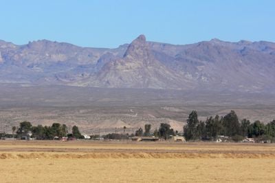
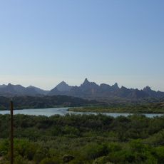
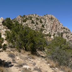
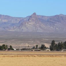
Boundary Cone is a volcanic summit in the Black Mountains that rises prominently from the Mohave County desert landscape. The peak displays exposed lava rock formations with a distinctive cone shape that appears from long distances.
The peak formed during the Miocene epoch when magma solidified within a volcanic vent and was later exposed through erosion. This geological activity shaped the entire Black Mountains region and created the landscape visible today.
The Bureau of Land Management listed this peak for the National Register of Historic Places in 2006 due to its importance to Indigenous tribes.
The best time to visit is during cooler months from October to April, as summer desert heat can be extreme. Bring plenty of water and sun protection, and check trail conditions before heading out.
The name marks the geographical boundary between two distinct ecosystems, with Mojave Valley desert on one side and elevated mountain terrain on the other. This border position makes it a natural landmark in the regional landscape.
The community of curious travelers
AroundUs brings together thousands of curated places, local tips, and hidden gems, enriched daily by 60,000 contributors worldwide.