Chest opened
+${chestReward.xp} XP
Explorer
NOUVEAU ×${chestReward.collectible.quantity}
tapez pour fermer

See the monuments around you in AR Open chests in the app

Around Us is built for your phone — point your camera at the streets and discover the monuments and places around you in augmented reality. Around Us is built for your phone — chests unlock when you walk, explore and capture nearby places.

Enable Location

We need your location to show you interesting places around you

Discover nearby places

Find interesting locations and hidden gems around you

Precise directions

Get accurate directions and distances to places

Your location is never shared with other users. It's only used when you tap the location button.

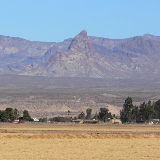
Warm Springs Wilderness

Log in to your account

Start exploring — it's free

Trusted by 85,431 travelers worldwide

Continue with Google
Continue with Apple
or

We will send you a code to connect

By continuing, you accept our Terms and Conditions and our Privacy Policy

Check your inbox

We've sent a pincode in your inbox. Please enter the code below.

Warm Springs Wilderness
Discussion Reviews 1 Photos
2.2k Popularity

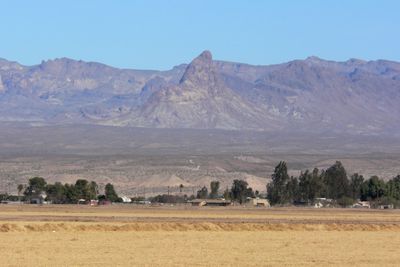
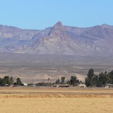
Warm Springs Wilderness, Desert wilderness area in Mohave County, Arizona, United States.

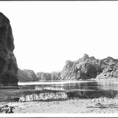
Warm Springs Wilderness is a protected area in the Mojave Desert featuring rock formations and open expanses. The terrain includes several springs nestled in canyons and depressions that shape the overall character of this rugged landscape.

The area was officially designated as protected land in 1990 through federal legislation. This action recognized the ecological and cultural value of the desert landscape for future generations.

The springs scattered throughout the area shaped how Native American tribes moved through and settled in this desert landscape. Today visitors can observe signs of these historical water sources when exploring the terrain.

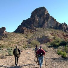
The area is challenging to access and requires sturdy vehicles or extended hikes to explore. Visitors should prepare for hot, dry weather and bring plenty of water.

After rains, natural water pockets form in rock depressions and fill temporarily. These rare water sources draw wildlife and fuel a brief burst of desert wildflowers.

The community of curious travelers

AroundUs brings together thousands of curated places, local tips, and hidden gems, enriched daily by 60,000 contributors worldwide.
Start exploring
Location
GPS coordinates
34.89670,-114.30800
Latest update
August 30, 2026 13:01
Around this place
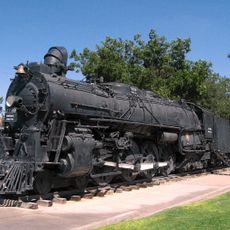
Atchison, Topeka and Santa Fe Railway 3759
United States of America

Atchison, Topeka and Santa Fe Railway 3759

24.7 mi
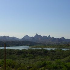
The Needles
United States of America

The Needles

17 mi
Havasu National Wildlife Refuge
United States of America

Havasu National Wildlife Refuge

14.7 mi
Old Trails Bridge
United States of America

Old Trails Bridge

16.1 mi
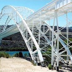
Red Rock Bridge
United States of America

Red Rock Bridge

16 mi
United States of America

Topock Gorge

17.9 mi
Boundary Cone
United States of America

Boundary Cone

8.6 mi
United States of America

Alexey W. Von Schmidt

21.7 mi
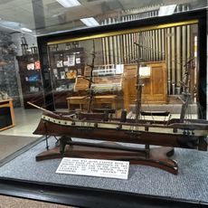
Mohave Museum of History and Arts
United States of America

Mohave Museum of History and Arts

24.6 mi
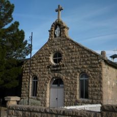
Saint Mary's Catholic Church
United States of America

Saint Mary's Catholic Church

25 mi
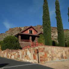
Max J. Anderson House
United States of America

Max J. Anderson House

25 mi
Kingman Commercial Historic District
United States of America

Kingman Commercial Historic District

24.9 mi
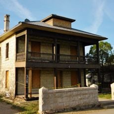
Tyrell House
United States of America

Tyrell House

25 mi
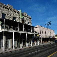
G. H. Sullivan Lodging House
United States of America

G. H. Sullivan Lodging House

24.9 mi
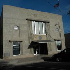
Masonic Temple
United States of America

Masonic Temple

24.9 mi
Mohave Canyon
United States of America

Mohave Canyon

18.9 mi
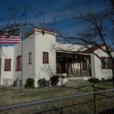
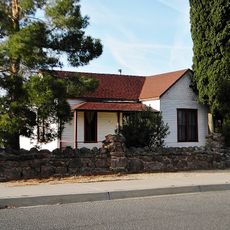
Lovin and Withers Cottages
United States of America

Lovin and Withers Cottages

24.9 mi
Hubbs House
United States of America

Hubbs House

24.7 mi
W. A. Gruninger Building
United States of America

W. A. Gruninger Building

24.9 mi
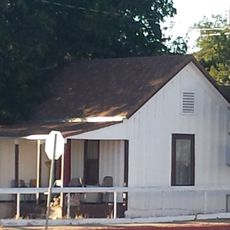
House at 105 Spring St.
United States of America

House at 105 Spring St.

24.9 mi
Foster S. Dennis House
United States of America

Foster S. Dennis House

24.7 mi
Van Marter Building
United States of America

Van Marter Building

24.9 mi
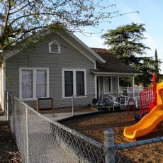
Little Red School
United States of America

Little Red School

24.9 mi
House at 809 Grand View
United States of America

House at 809 Grand View

25 mi
Mrs. M. P. Sargent House
United States of America

Mrs. M. P. Sargent House

24.8 mi
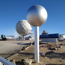
Area 66
United States of America

Area 66

9.6 mi
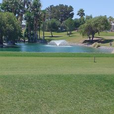
Riverview Resort Golf Course
United States of America

Riverview Resort Golf Course

21 mi
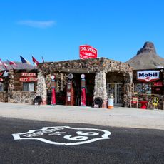
Cool Springs Station
United States of America

Cool Springs Station

9 mi
Show the full map
Reviews
Share your experience

No review yet

Discussions
Start a discussion...

No discussion yet

« Warm Springs Wilderness - Desert wilderness area in Mohave County, Arizona, United States » is provided by Around Us (aroundus.com). Images and texts are derived from Wikimedia project under a Creative Commons license. You are allowed to copy, distribute, and modify copies of this page, under the conditions set by the license, as long as this note is clearly visible.

Discover hidden gems everywhere you go!

From secret cafés to breathtaking viewpoints, skip the crowded tourist spots and find places that match your style. Our app makes it easy with voice search, smart filtering, route optimization, and insider tips from travelers worldwide. Download now for the complete mobile experience.
Around Us App Screenshot

A unique approach to discovering new places

Le Figaro

All the places worth exploring

France Info

A tailor-made excursion in just a few clicks

20 Minutes

Around Us
Travel Guide & Maps
Download

Send to your phone

QR Code
1

Open the camera app on your mobile.

2

Point at the QR code with your camera. A notification will appear.

3

Tap the notification to open the link.