Enable Location

We need your location to show you interesting places around you

Discover nearby places

Find interesting locations and hidden gems around you

Precise directions

Get accurate directions and distances to places

Your location is never shared with other users. It's only used when you tap the location button.

Central Arizona Project

Log in to your account

Start exploring — it's free

Trusted by 62,036 travelers worldwide

Continue with Google
Continue with Apple
or

We will send you a code to connect

By continuing, you accept our Terms and Conditions and our Privacy Policy

Check your inbox

We've sent a pincode in your inbox. Please enter the code below.

Central Arizona Project

Central Arizona Project, Water management system in Arizona, United States.

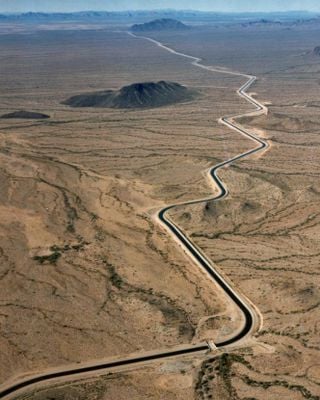
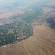
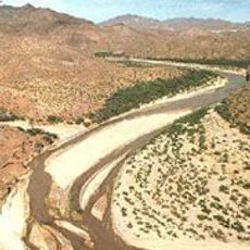
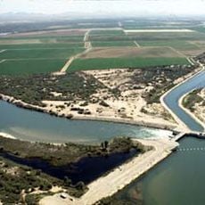
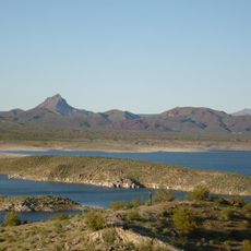
The Central Arizona Project is a canal system that carries water from the Colorado River about 340 km to urban and rural areas across central and southern Arizona. The system uses canals and pumping stations to move water across changing terrain.

Planning for this project started in the 1960s when Arizona fought for water rights from the Colorado River, and construction began in 1973. Completion of the main route in 1993 marked the end of this massive engineering effort.

The network shaped how Arizona residents see themselves as a community that took control of its water future through bold infrastructure choices.

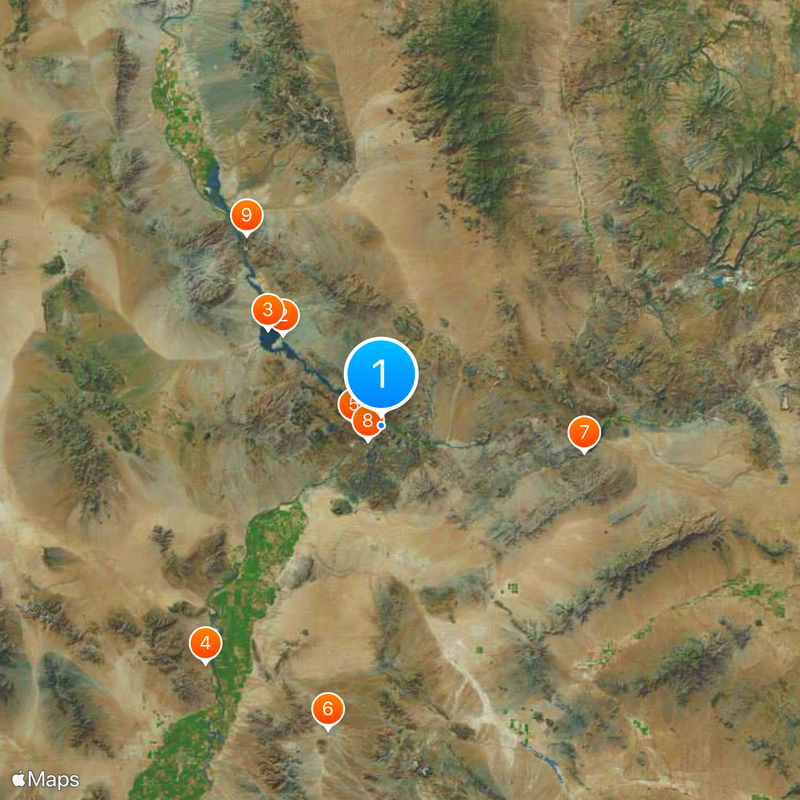
The best time to visit is October through April when temperatures are more comfortable for exploring the canals and access points. Information about public areas and viewpoints is available through local visitor centers or the project website.

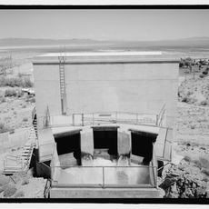
The system requires 14 pumping stations to lift water up to 900 meters uphill at certain points, making it one of the state's largest electricity users. This massive power requirement is what made settlement possible in Arizona's driest regions.

The community of curious travelers

AroundUs brings together thousands of curated places, local tips, and hidden gems, enriched daily by 60,000 contributors worldwide.

Start exploring
Location
Official opening
1993
GPS coordinates
34.28611,-114.10361
Latest update
December 19, 2025 23:35
Around this place
Show the full map
« Central Arizona Project - Water management system in Arizona, United States » is provided by Around Us (aroundus.com). Images and texts are derived from Wikimedia project under a Creative Commons license. You are allowed to copy, distribute, and modify copies of this page, under the conditions set by the license, as long as this note is clearly visible.

Discover hidden gems everywhere you go!

From secret cafés to breathtaking viewpoints, skip the crowded tourist spots and find places that match your style. Our app makes it easy with voice search, smart filtering, route optimization, and insider tips from travelers worldwide. Download now for the complete mobile experience.

Around Us App Screenshot

A unique approach to discovering new places

Le Figaro

All the places worth exploring

France Info

A tailor-made excursion in just a few clicks

20 Minutes

Around Us
Travel Guide & Maps
Download

Send to your phone

QR Code
1

Open the camera app on your mobile.

2

Point at the QR code with your camera. A notification will appear.

3

Tap the notification to open the link.