Riverside Mountains, Protected mountain range in Riverside County, United States
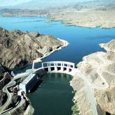
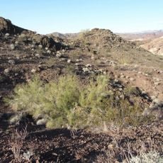
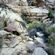
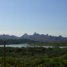
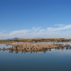
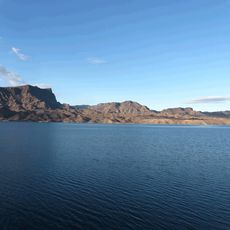
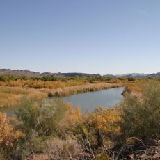
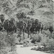
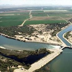
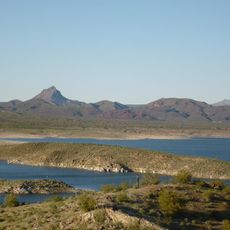
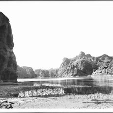
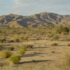
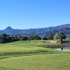
The Riverside Mountains form a rugged range in Riverside County that combines steep ridgelines with gradual slopes extending outward. The landscape rises to approximately 2200 feet at its peak, with the Colorado River running along its eastern edge.
The Bureau of Land Management established this area as protected wilderness in 1994 to preserve its natural geological features. This designation safeguarded the desert landscape and its ecological characteristics for the future.
The range lies within the traditional territory of the Quechan and Mojave peoples, who farmed the floodplain of the Colorado River along its eastern edge. The river also served as a travel route, and the mountains' canyons and washes were used for hunting and gathering. The name Vidal, for the small town in the West Riverside Mountains, honours a local figure of the 19th century.
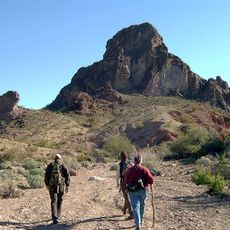
No marked trails exist in the Riverside Mountains Wilderness; travel is cross-country over bajadas and washes, and the Colorado River forms the eastern boundary of the 24,004-acre area. The range lies north of the Big Maria Mountains and southeast of the Turtle Mountains, with Vidal in the West Riverside Mountains. Carry all water, as the desert terrain is exposed.
The range displays an unusual north-south orientation of its rock formations, which sets it apart from the typical east-west patterns seen in other North American mountain chains. This geological feature makes the landscape scientifically interesting for visitors interested in earth sciences.
The community of curious travelers
AroundUs brings together thousands of curated places, local tips, and hidden gems, enriched daily by 94,041 contributors worldwide.