Chest opened
+${chestReward.xp} XP
Explorer
NOUVEAU ×${chestReward.collectible.quantity}
tapez pour fermer

See the monuments around you in AR Open chests in the app

Around Us is built for your phone — point your camera at the streets and discover the monuments and places around you in augmented reality. Around Us is built for your phone — chests unlock when you walk, explore and capture nearby places.

Enable Location

We need your location to show you interesting places around you

Discover nearby places

Find interesting locations and hidden gems around you

Precise directions

Get accurate directions and distances to places

Your location is never shared with other users. It's only used when you tap the location button.

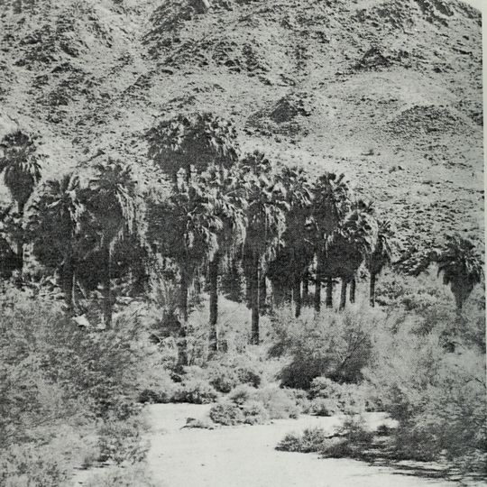
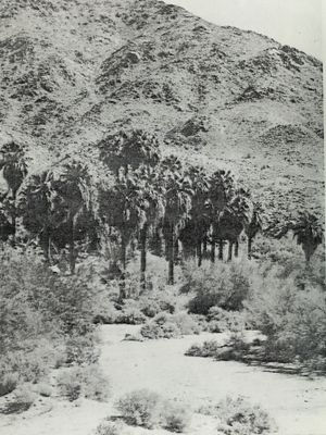
Corn Springs

Log in to your account

Start exploring — it's free

Trusted by 87,280 travelers worldwide

Continue with Google
Continue with Apple
or

We will send you a code to connect

By continuing, you accept our Terms and Conditions and our Privacy Policy

Check your inbox

We've sent a pincode in your inbox. Please enter the code below.

Discussion Reviews 1 Photos
3k Popularity

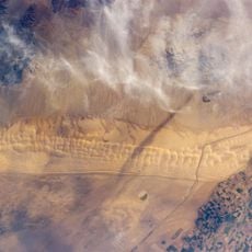
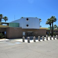
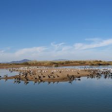
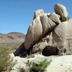
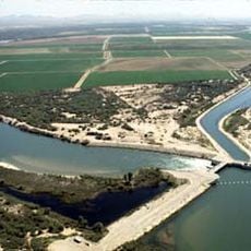
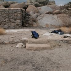
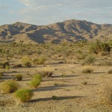
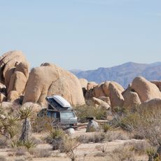
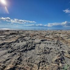
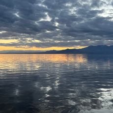
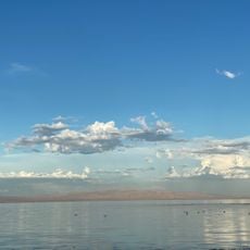
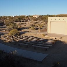
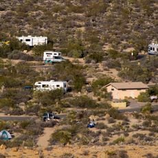
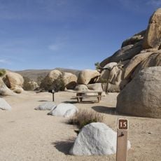
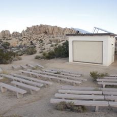
Corn Springs, Archaeological site in Riverside County, United States.

Corn Springs is an archaeological site in Riverside County, California, where remains of past human settlements have been discovered. The location contains artifacts and evidence that document how people lived and used this area in earlier times.

The site was added to the National Register of Historic Places in 1966, gaining formal protection under federal law. This designation has allowed for systematic documentation and preservation of the archaeological evidence over the decades.

The archaeological discoveries at Corn Springs reveal patterns of indigenous peoples and early settlers through artifacts found in the area.

Since the site is protected, planning a visit is best done by contacting local heritage authorities or regional museums in advance. They can provide information about the exact location and any access conditions or restrictions.

The site maintains detailed records of physical descriptions, photographs, and reference numbers that document its archaeological significance in Riverside County.

The community of curious travelers

AroundUs brings together thousands of curated places, local tips, and hidden gems, enriched daily by 60,000 contributors worldwide.
Start exploring
Location
GPS coordinates
33.62610,-115.32500
Latest update
September 11, 2026 23:29
Around this place
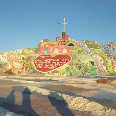
Salvation Mountain
United States of America

Salvation Mountain

27.1 mi
Algodones Dunes
United States of America

Algodones Dunes

48.2 mi
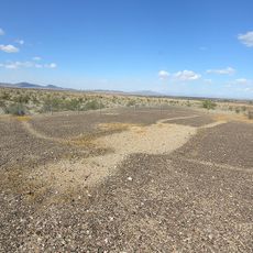
Blythe Intaglios
United States of America

Blythe Intaglios

46.8 mi
Chuckawalla Valley State Prison
United States of America

Chuckawalla Valley State Prison

24.4 mi
Salton Buttes
United States of America

Salton Buttes

34 mi
Niland Geyser
United States of America

Niland Geyser

27.7 mi
General George S. Patton Memorial Museum
United States of America

General George S. Patton Memorial Museum

23 mi
Sonny Bono Salton Sea National Wildlife Refuge
United States of America

Sonny Bono Salton Sea National Wildlife Refuge

35.3 mi
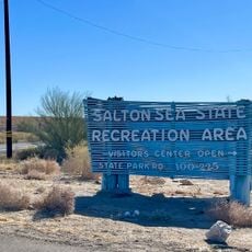
Salton Sea State Recreation Area
United States of America

Salton Sea State Recreation Area

35 mi
North Shore Beach and Yacht Club
United States of America

North Shore Beach and Yacht Club

35.6 mi
Cibola National Wildlife Refuge
United States of America

Cibola National Wildlife Refuge

42.7 mi
Malapai Hill
United States of America

Malapai Hill

48.9 mi
Blythe Intake
United States of America

Blythe Intake

47.1 mi
Ruby Lee Mill Site
United States of America

Ruby Lee Mill Site

32.3 mi
Joshua Tree Wilderness
United States of America

Joshua Tree Wilderness

27.2 mi
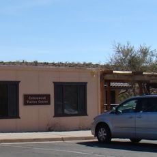
Cottonwood Visitor Center
United States of America

Cottonwood Visitor Center

29.9 mi
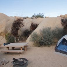
Jumbo Rocks Campground
United States of America

Jumbo Rocks Campground

49.4 mi
White Tank Campground
United States of America

White Tank Campground

46.9 mi
Betz Beach
United States of America

Betz Beach

34.8 mi
Sneaker Beach
United States of America

Sneaker Beach

35.3 mi
Salton Beach
United States of America

Salton Beach

34 mi
Cottonwood Campground Amphitheater
United States of America

Cottonwood Campground Amphitheater

29.3 mi
Cottonwood Campground
United States of America

Cottonwood Campground

29.3 mi
Belle Campground
United States of America

Belle Campground

47.6 mi
Sea View Beach
United States of America

Sea View Beach

41.6 mi
Sandy Beach
United States of America

Sandy Beach

42.3 mi
Jumbo Rocks Campground Amphitheater
United States of America

Jumbo Rocks Campground Amphitheater

49.4 mi
Blythe-Ehrenberg Suspension Bridge
United States of America

Blythe-Ehrenberg Suspension Bridge

45.6 mi
Show the full map
Reviews
Share your experience

No review yet

Discussions
Start a discussion...

No discussion yet

« Corn Springs - Archaeological site in Riverside County, United States » is provided by Around Us (aroundus.com). Images and texts are derived from Wikimedia project under a Creative Commons license. You are allowed to copy, distribute, and modify copies of this page, under the conditions set by the license, as long as this note is clearly visible.

Discover hidden gems everywhere you go!

From secret cafés to breathtaking viewpoints, skip the crowded tourist spots and find places that match your style. Our app makes it easy with voice search, smart filtering, route optimization, and insider tips from travelers worldwide. Download now for the complete mobile experience.
Around Us App Screenshot

A unique approach to discovering new places

Le Figaro

All the places worth exploring

France Info

A tailor-made excursion in just a few clicks

20 Minutes

Around Us
Travel Guide & Maps
Download

Send to your phone

QR Code
1

Open the camera app on your mobile.

2

Point at the QR code with your camera. A notification will appear.

3

Tap the notification to open the link.