Salton Sea State Recreation Area

Log in to your account

AroundUs is a community-driven map of interesting places, built by curious explorers like you. It grows with every review, story, and photo you share.
Connect to save your favorite spots, contribute locations, and create personalized routes.
Continue with Google
Continue with Apple
Continue with X
Continue with Facebook
Continue with email
By continuing, you accept our Terms and Conditions and our Privacy Policy
Create an account

Salton Sea State Recreation Area

Add to collection
Map
Suggest a change
Share

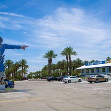
Salton Sea State Recreation Area, State recreation area at Salton Sea, California, US

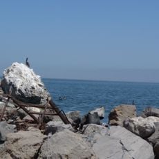
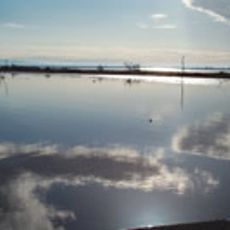
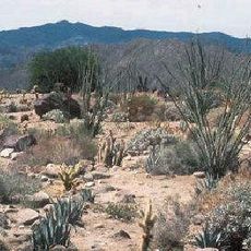
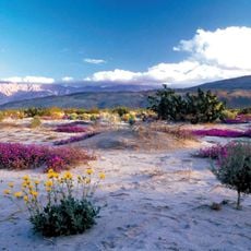
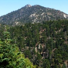
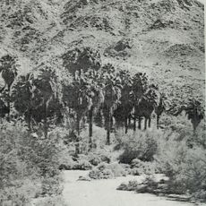
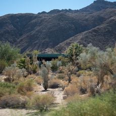
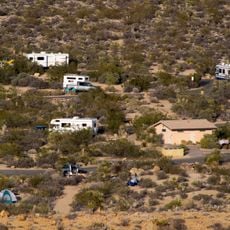
Salton Sea State Recreation Area is a recreation area bordering California's largest lake in a desert setting, featuring shoreline with shell fragments, bone deposits, and salt formations visible along the water's edge. The surrounding landscape combines dry terrain with water-based features that extend across several miles.

The area came into existence in the early 1900s when a dam failure allowed Colorado River water to flow into a dry basin, accidentally creating one of California's largest bodies of water. It was subsequently developed as a recreation destination to take advantage of this newly formed landscape.

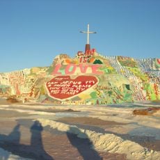
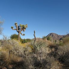
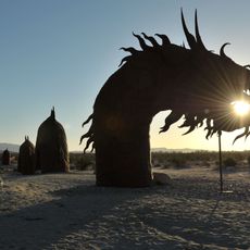
The area draws photographers and artists interested in documenting the contrasts between desert landscapes and water. Visitors can observe how this unusual combination of environments creates spaces that feel both sparse and alive.

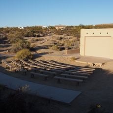
Most areas are accessible from sunrise to sunset and offer camping sites, restrooms, and picnic facilities throughout the grounds. Visitors should know that shade and fresh water are limited in some areas, so bringing sun protection is advisable.

The lake sits below sea level and contains water so salty that it exceeds ocean salinity in many areas. This creates an unusual environment where visitors can spot distinctive salt deposits and experience a setting unlike typical freshwater lakes.

Location: California

Website: https://parks.ca.gov/?page_id=639

GPS coordinates: 33.47420,-115.88900

Latest update: December 9, 2025 18:48

Photos
Around this place
Salvation Mountain
United States of America

Salvation Mountain

45.8 km
United States of America

Humana Challenge

39 km
Living Desert Zoo and Gardens
United States of America

Living Desert Zoo and Gardens

49.5 km
Salton Buttes
United States of America

Salton Buttes

39.5 km
Niland Geyser
United States of America

Niland Geyser

35.9 km
Tahquitz Canyon
United States of America

Tahquitz Canyon

39 km
Spotlight 29 Casino
United States of America

Spotlight 29 Casino

37.9 km
General George S. Patton Memorial Museum
United States of America

General George S. Patton Memorial Museum

26 km
La Quinta Resort and Club
United States of America

La Quinta Resort and Club

45.4 km
Sonny Bono Salton Sea National Wildlife Refuge
United States of America

Sonny Bono Salton Sea National Wildlife Refuge

38.9 km
Galleta Meadows Estate
United States of America

Galleta Meadows Estate

49.8 km
Coachella Valley National Wildlife Refuge
United States of America

Coachella Valley National Wildlife Refuge

53.8 km
North Shore Beach and Yacht Club
United States of America

North Shore Beach and Yacht Club

5.6 km
Shields Date Gardens
United States of America

Shields Date Gardens

43.6 km
Santa Rosa Wilderness
United States of America

Santa Rosa Wilderness

39.5 km
Fish Creek Mountains Wilderness
United States of America

Fish Creek Mountains Wilderness

56.8 km
Toro Peak
United States of America

Toro Peak

50.1 km
Corn Springs
United States of America

Corn Springs

55 km
Malapai Hill
United States of America

Malapai Hill

55 km
Martinez Canyon Rockhouse
United States of America

Martinez Canyon Rockhouse

40.7 km
Ruby Lee Mill Site
United States of America

Ruby Lee Mill Site

40.9 km
College of the Desert Arboretum
United States of America

College of the Desert Arboretum

54.4 km
Jack Nicklaus Resort Golf Course
United States of America

Jack Nicklaus Resort Golf Course

38.9 km
Classic Club
United States of America

Classic Club

54 km
Cottonwood Visitor Center
United States of America

Cottonwood Visitor Center

31.1 km
Santa Rosa & San Jacinto Mountains National Monument Visitor Center
United States of America

Santa Rosa & San Jacinto Mountains National Monument Visitor Center

53 km
Cottonwood Campground
United States of America

Cottonwood Campground

30.7 km
Cottonwood Campground Amphitheater
United States of America

Cottonwood Campground Amphitheater

30.9 km
Show the full map
Reviews

Visited this place? Tap the stars to rate it and share your experience / photos with the community! Try now! You can cancel it anytime.

« Salton Sea State Recreation Area - State recreation area at Salton Sea, California, US » is provided by Around Us (aroundus.com). Images and texts are derived from Wikimedia project under a Creative Commons license. You are allowed to copy, distribute, and modify copies of this page, under the conditions set by the license, as long as this note is clearly visible.

Discover hidden gems everywhere you go!

From secret cafés to breathtaking viewpoints, skip the crowded tourist spots and find places that match your style. Our app makes it easy with voice search, smart filtering, route optimization, and insider tips from travelers worldwide. Download now for the complete mobile experience.

Around Us App Screenshot

A unique approach to discovering new places

Le Figaro

All the places worth exploring

France Info

A tailor-made excursion in just a few clicks

20 Minutes