Fish Creek Mountains Wilderness, Protected wilderness area in California desert region, United States.
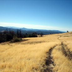
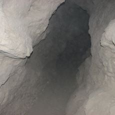
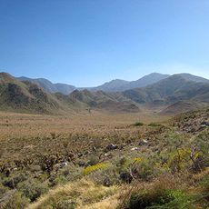
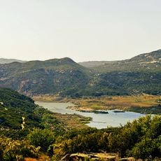
Fish Creek Mountains form a natural plateau with jagged ridges, peaks, winding canyons, and small valleys across protected desert land. The terrain is made mainly of limestone and shows the rough texture of ancient rocky mountains.
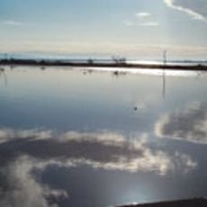
The Fish Creek Mountains rise above a desert basin whose southern part lies within the Carrizo Impact Area, a bombing range closed to the public. A stretch of the ancient Lake Cahuilla shoreline, a freshwater lake that covered the Imperial and Coachella Valleys and receded about 500 years ago, can still be seen in the wilderness. The area covers 21,425 acres south of Anza-Borrego Desert State Park and west of the Imperial Valley.
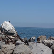
The limestone formations and remaining shoreline of ancient Lake Cahuilla show how this desert landscape transformed over time. The old lake edge is still visible in the rock layers, telling the story of a very different past.
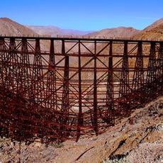
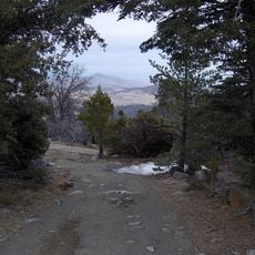
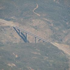
Access is from California State Highway 78, then south on Split Mountain Road toward Gypsum Mine Rail Road. Visitors should bring plenty of water and be ready for rough trails and minimal shade.
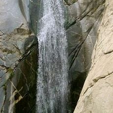
Natural water tanks formed by erosion in limestone channels hold water year-round and offer wildlife critical survival points. These hidden water sources shaped where animals live and move through the wilderness.
The community of curious travelers
AroundUs brings together thousands of curated places, local tips, and hidden gems, enriched daily by 93,660 contributors worldwide.