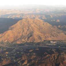
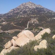
Cuyamaca Peak, Mountain peak in San Diego County, California, US
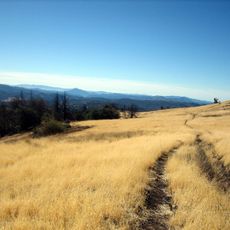
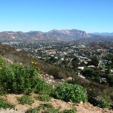
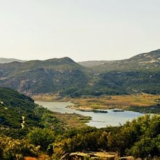
Cuyamaca Peak is a mountain summit in San Diego County that rises to 6,512 feet as the second highest point in the region. From the top, visitors can see across vast distances toward the Pacific Ocean on clear days.
The mountain experienced a major fire in 2003 that destroyed much of its forest cover and transformed the landscape. Following this event, various pine species and firs began to regrow gradually across the slopes.
The name Cuyamaca comes from the Kumeyaay language meaning 'place behind the clouds', which describes how the mountain catches moisture drifting inland from the Pacific. This naming reflects a geographic reality that visitors can witness themselves on foggy mornings.
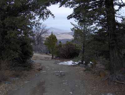
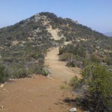
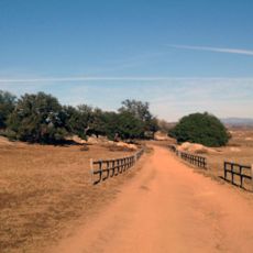
The hike to the summit starts from Paso Picacho Campground and follows a moderately steep route. Conditions change with the seasons, so visitors should prepare for variable weather and terrain that shifts throughout the year.
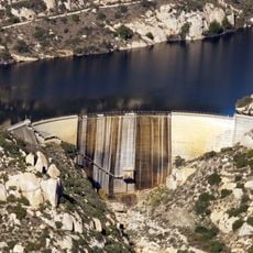
The peak receives varying amounts of precipitation across different seasons, which supports diverse plant growth and occasionally allows snow to fall. This moisture level is surprisingly high for an area that can otherwise feel quite dry.
The community of curious travelers
AroundUs brings together thousands of curated places, local tips, and hidden gems, enriched daily by 60,000 contributors worldwide.