Mohave County, Administrative county in northwestern Arizona, United States.
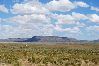
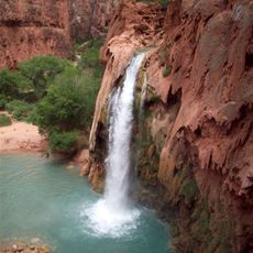
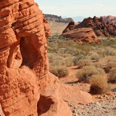
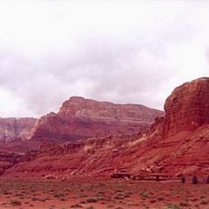
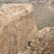
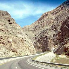
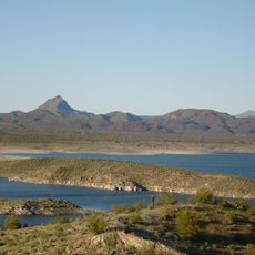
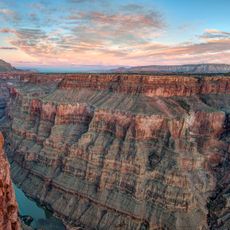
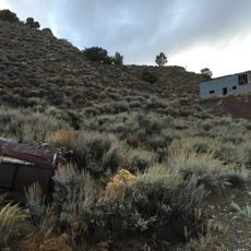
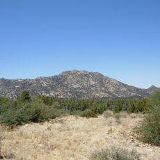
Mohave County is an administrative district in northwestern Arizona that includes desert terrain, mountain chains, and portions of the Colorado River. The landscape shifts between barren flats, rocky hills, and riverside zones, where small towns and scattered settlements spread across a wide area.
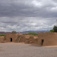
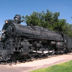
The county formed in 1864 during Arizona's territorial period and grew through mining ventures and railroad construction in the Southwest. Gold strikes and silver mines attracted settlers who built new communities along trade routes.
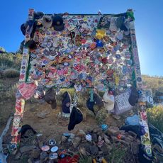
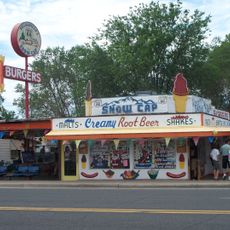
Historic Route 66 crosses the county and remains visible through preserved gas stations, diners, and motor lodges in Seligman and other communities. Travelers can spot original neon signs and buildings from the 1930s and 1940s along this stretch, preserving the character of early car culture.
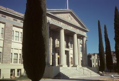
Kingman serves as the administrative seat and offers public facilities along with access via Interstate 40 and U.S. Route 93. Travelers find services, fuel stations, and rest stops there that work as a starting point for exploring the surrounding area.
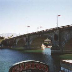
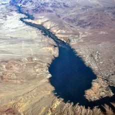
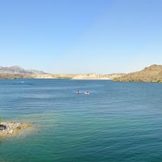
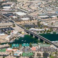
Lake Havasu City houses the original London Bridge, shipped stone by stone from England and rebuilt over a channel in 1971. The bridge now connects the mainland to a man-made island and serves as a pedestrian walkway lined with shops and cafés.
Location: Arizona
Inception: 1864
Capital city: Kingman
Shares border with: Washington County, La Paz County, Kane County, Coconino County, Yavapai County, San Bernardino County, Clark County, Lincoln County
Website: http://mohavecounty.us
GPS coordinates: 35.68194,-113.86306
Latest update: December 5, 2025 16:31
Hoover Dam
87.2 km
Lake Mead
79.1 km
London Bridge
141.8 km
Havasu Falls
122.9 km
Lake Havasu
141.6 km
Colin Grand Canyon Skywalk
37.1 km
Valley of Fire State Park
103.6 km
Mike O'Callaghan–Pat Tillman Memorial Bridge
87.4 km
Central Arizona Project
156.9 km
Colorado River Aqueduct
157.5 km
Vermilion Cliffs
166 km
Grand Canyon Caverns
59.6 km
Double Negative
112.6 km
Pipe Spring National Monument
165.7 km
Virgin River Gorge
140 km
Black Canyon of the Colorado
77.9 km
Delgadillo's Snow Cap Drive-In
98.1 km
Alamo Lake State Park
163.1 km
Toroweap Overlook
93.7 km
Lost City Museum
107.9 km
El Dorado Canyon
76.4 km
Atchison, Topeka and Santa Fe Railway 3759
57.6 km
Granite Mountain
164.8 km
Grapevine Canyon Petroglyphs
90.2 km
Buckskin Mountain State Park
160.6 km
Warm Springs Natural Area
137.6 km
The Needles
123.6 km
Havasu National Wildlife Refuge
116.6 kmReviews
Visited this place? Tap the stars to rate it and share your experience / photos with the community! Try now! You can cancel it anytime.
Discover hidden gems everywhere you go!
From secret cafés to breathtaking viewpoints, skip the crowded tourist spots and find places that match your style. Our app makes it easy with voice search, smart filtering, route optimization, and insider tips from travelers worldwide. Download now for the complete mobile experience.
A unique approach to discovering new places❞
— Le Figaro
All the places worth exploring❞
— France Info
A tailor-made excursion in just a few clicks❞
— 20 Minutes