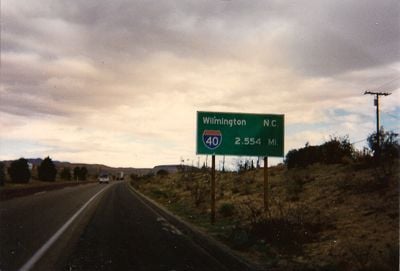
Interstate 40 in California, Interstate highway in San Bernardino County, United States.
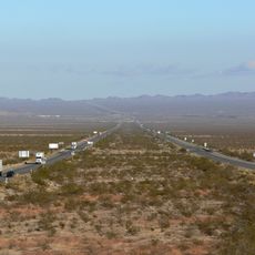
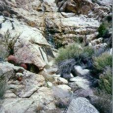
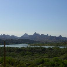
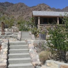
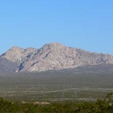
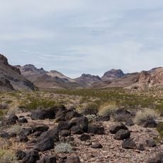
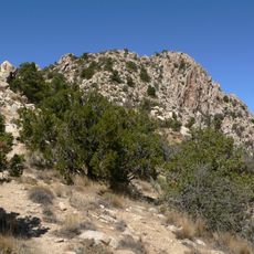
Interstate 40 is a federal highway spanning about 155 miles through the Mojave Desert, running from Barstow to the Arizona border. The road crosses arid terrain with scrubland, scattered vegetation, and wide-open vistas typical of the high desert environment.
This section opened in 1973, replacing portions of the historic U.S. Route 66. The completion marked a shift in regional transportation, moving traffic from older highways to a modern interstate corridor.
The highway links California to the eastern United States, enabling the movement of residents, travelers, and commercial goods across state lines. It shapes how people experience the desert landscape and defines connectivity for communities along the route.
The highway includes rest areas and service stations spaced along the route where travelers can stop for a break or refuel. Current traffic and weather information is accessible through California transportation services to help plan your journey.
The highway maintains relatively flat terrain through the Mojave Desert, allowing vehicles to sustain steady speeds over long distances without elevation changes. This feature has made it particularly valuable for long-haul trucking and cross-country commerce.
The community of curious travelers
AroundUs brings together thousands of curated places, local tips, and hidden gems, enriched daily by 60,000 contributors worldwide.