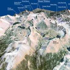
Triple Divide Peak, Mountain summit in Tulare County, United States.
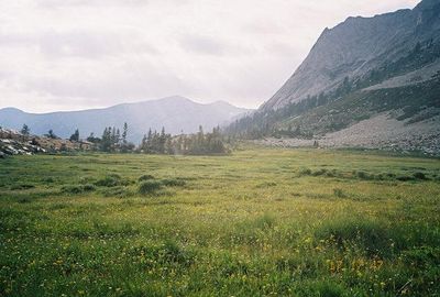
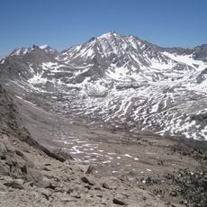
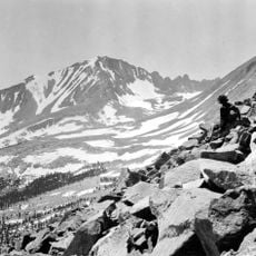
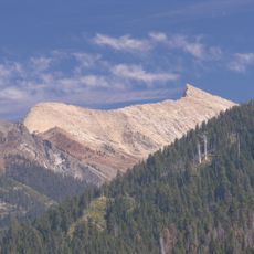
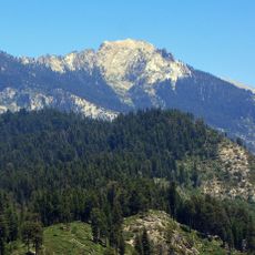
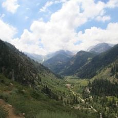
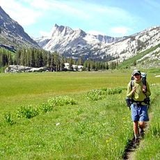
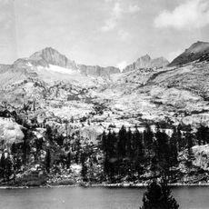
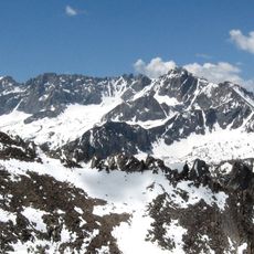
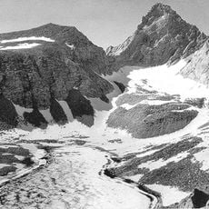
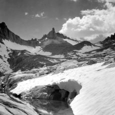
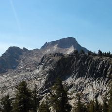
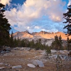
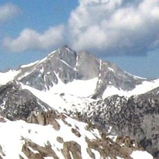
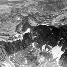
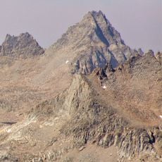
Triple Divide Peak is a mountain summit in the Sierra Nevada rising to 3,839 meters and marking the boundary between Kings Canyon and Sequoia National Parks. The location sits within protected wilderness where hikers and climbers navigate alpine terrain and rock formations on their way to the summit.
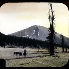
The first documented ascent of Triple Divide Peak occurred in 1920 by mountaineers James Hutchinson and Charles Noble. This marked the beginning of the peak's exploration by climbers seeking to reach this remote alpine destination.
The peak serves as a central geographical marker in California's protected wilderness, drawing mountaineers and researchers to study its geological formations.
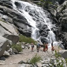
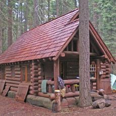
Reaching the summit requires a long, demanding hike from regional trailheads with challenging terrain and steep sections. Visitors should prepare for alpine weather conditions and bring appropriate gear for high-elevation mountain travel.
The peak serves as a water divide where rainfall and snowmelt flow in three different directions, feeding three separate river systems. This geographical feature makes it an important reference point for understanding how water moves through the region.
The community of curious travelers
AroundUs brings together thousands of curated places, local tips, and hidden gems, enriched daily by 60,000 contributors worldwide.