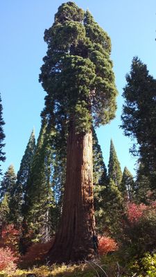
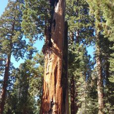
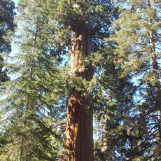
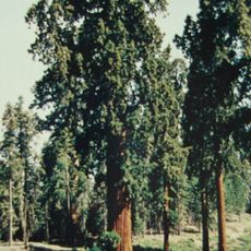
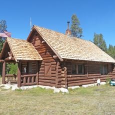
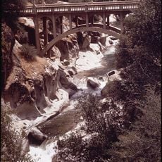
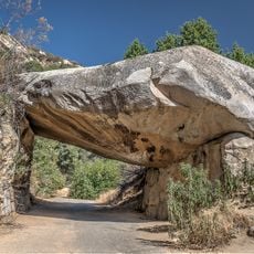
Methuselah, Ancient bristlecone pine in White Mountains, California.
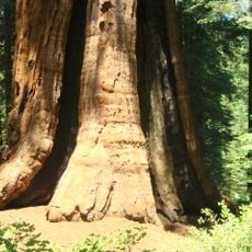
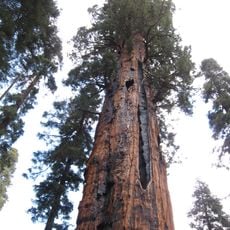
Methuselah is an ancient Great Basin bristlecone pine in California's White Mountains, growing at about 10,000 feet elevation with thick, gnarled branches and densely twisted wood grain throughout. The trunk and limbs display tight, contorted patterns that resulted from thousands of years exposed to harsh mountain weather and conditions.
The wood began growing around 2833 BCE, making it older than Egypt's pyramids and having witnessed over 4,800 years of Earth's history. This long existence means the tree has endured countless climate shifts and survived environmental changes that destroyed many other plant species.
The tree is carefully protected, and its exact location is kept secret to prevent damage from too many visitors. This approach reflects how seriously the site is treated as a living historical monument.
The tree is reached via marked trails in the Ancient Bristlecone Pine Forest within Inyo National Forest, best visited between May and November when high elevation access is easier. Visitors should prepare for thinner air at this altitude and bring warm layers, as temperatures drop quickly even during summer months.
The wood has a special root system where individual branches have their own underground roots and can grow independently from each other. This means that if parts of the tree die or are damaged, other sections can still thrive and the tree as a whole can survive.
The community of curious travelers
AroundUs brings together thousands of curated places, local tips, and hidden gems, enriched daily by 60,000 contributors worldwide.