Enable Location

We need your location to show you interesting places around you

Discover nearby places

Find interesting locations and hidden gems around you

Precise directions

Get accurate directions and distances to places

Your location is never shared with other users. It's only used when you tap the location button.

High Sierra Trail

Log in to your account

Start exploring — it's free

Trusted by 65,194 travelers worldwide

Continue with Google
Continue with Apple
or

We will send you a code to connect

By continuing, you accept our Terms and Conditions and our Privacy Policy

Check your inbox

We've sent a pincode in your inbox. Please enter the code below.

High Sierra Trail
Discussion Reviews 1 Photos
16.2k Popularity

High Sierra Trail, long-distance hiking trail in the United States

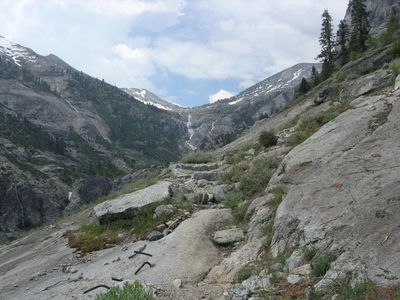
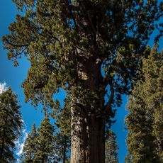
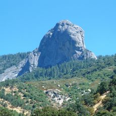
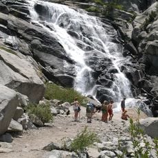
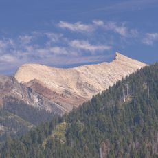
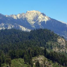
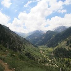
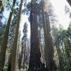
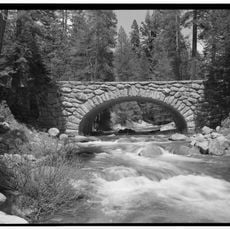
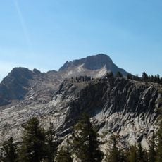
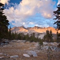
The High Sierra Trail is a long-distance trail in Sequoia National Park that runs from Crescent Meadow in the west to Whitney Portal in the east. The route crosses several mountain passes and moves through pine forests, open alpine meadows, and rocky terrain at elevations reaching above 13,000 feet (about 4,000 meters).

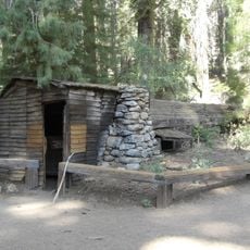
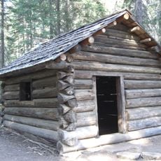
The trail was built in the 1930s by rangers and Civilian Conservation Corps workers to open up the remote high-country areas of the park to hikers. The route has changed little since then and still follows much of its original path.

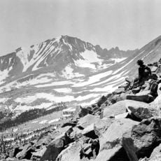
The High Sierra Trail ends at the summit of Mount Whitney, the highest point in the contiguous United States, which draws many determined hikers each year. Along the way, campers and day hikers share the path, creating a quiet sense of shared purpose on the mountain.

Good physical fitness and experience hiking at high elevation are recommended, as the trail involves long daily stretches with significant climbs and descents. Those planning to camp overnight need a wilderness permit, which should be arranged well in advance due to limited availability.

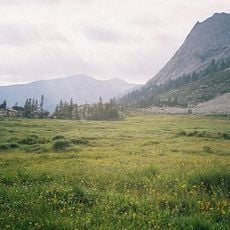
The trail crosses the Kern Plateau, a broad high-elevation valley whose open terrain looks very different from the rocky peaks found elsewhere on the route. Many hikers who have completed the trail say this section stands out as the most unexpected part of the journey.

The community of curious travelers

AroundUs brings together thousands of curated places, local tips, and hidden gems, enriched daily by 60,000 contributors worldwide.

Start exploring
Location
GPS coordinates
36.56499,-118.62081
Latest update
March 3, 2026 08:20
Reviews
Share your experience

No review yet

Discussions
Start a discussion...

No discussion yet

« High Sierra Trail - long-distance hiking trail in the United States » is provided by Around Us (aroundus.com). Images and texts are derived from Wikimedia project under a Creative Commons license. You are allowed to copy, distribute, and modify copies of this page, under the conditions set by the license, as long as this note is clearly visible.

Discover hidden gems everywhere you go!

From secret cafés to breathtaking viewpoints, skip the crowded tourist spots and find places that match your style. Our app makes it easy with voice search, smart filtering, route optimization, and insider tips from travelers worldwide. Download now for the complete mobile experience.

Around Us App Screenshot

A unique approach to discovering new places

Le Figaro

All the places worth exploring

France Info

A tailor-made excursion in just a few clicks

20 Minutes

Around Us
Travel Guide & Maps
Download

Send to your phone

QR Code
1

Open the camera app on your mobile.

2

Point at the QR code with your camera. A notification will appear.

3

Tap the notification to open the link.