Dunderberg Peak, Mountain summit in Mono County, United States.
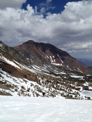
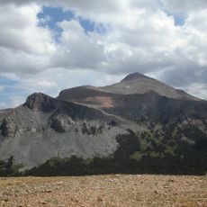
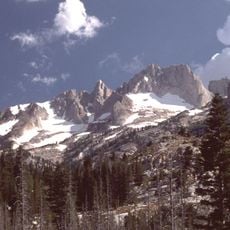
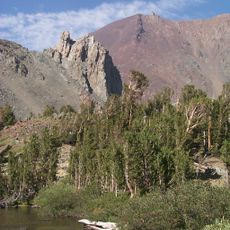
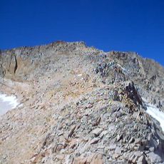
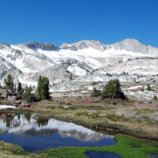
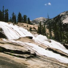
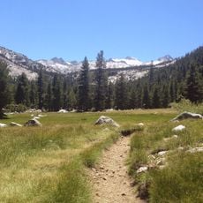
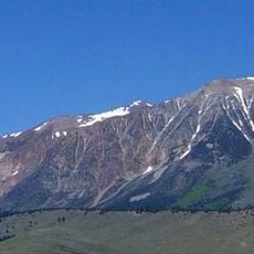
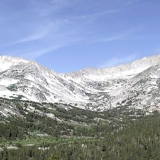
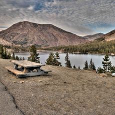
Dunderberg Peak is a mountain summit in the Sierra Nevada range of California, rising to approximately 12,400 feet. The peak stands within Humboldt-Toiyabe National Forest and features steep terrain with significant vertical prominence.
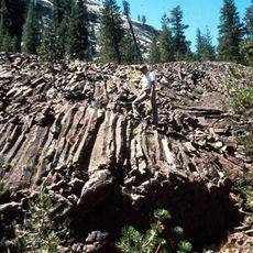
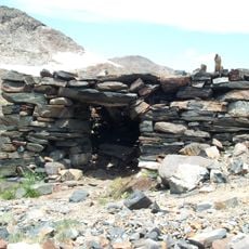
The peak was originally called Castle Peak but was renamed Dunderberg by the Wheeler Survey expedition in 1878 after discovering mining activity on its northern slopes. This renaming reflected the era of geological exploration and mapping in the Sierra Nevada.
The peak stands within Humboldt-Toiyabe National Forest, representing a significant landmark for mountaineers and outdoor enthusiasts in the Sierra Nevada region.
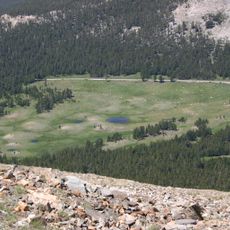
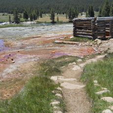
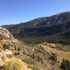
The peak can be reached via several hiking trails, with access best from June through October when snow has melted. Visitors should come prepared for demanding terrain and bring proper footwear and navigation tools.
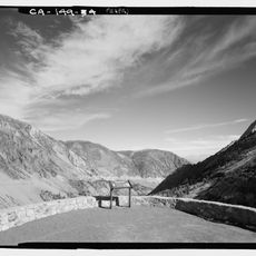
A maintained jeep road goes directly over the summit, winding through a series of steep hairpin turns. This vehicular access is unusual for a high mountain peak and allows different groups of visitors to experience the top.
Location: Mono County
Part of: Sierra Peaks Section Peaks List
GPS coordinates: 38.06464,-119.27432
Latest update: December 14, 2025 20:32
Tioga Pass
17.2 km
Mount Dana
18.9 km
Matterhorn Peak
9.9 km
Hoover Wilderness
12 km
Mount Conness
11.6 km
Conness Glacier
11.2 km
Tioga Pass Entrance Station
17.2 km
Waterwheel Falls
22.3 km
Glen Aulin High Sierra Camp
21.5 km
Little Devils Postpile
22 km
Parsons Memorial Lodge
22.3 km
Lyell Canyon
22.5 km
Mount Gibbs
21.6 km
Soda Springs Cabin
22.2 km
Great Sierra Mine Historic Site
15.2 km
Tuolumne Meadows Ranger Stations and Comfort Stations
22.3 km
Mono County Courthouse
21.7 kmVictoria Peak
17.4 km
Hall Natural Area
12 km
Lee Vining Canyon
16.6 km
McCauley Cabin
22.3 km
Tuolumne Meadows Campground
22.7 km
Tuolumne Meadows Ranger Station
21.8 km
Mono Lake Volcanic Field
22.6 km
Danburg Beach
13.3 km
Tuolumne Meadows Bridge
22.1 km
Tioga Lake Overlook
16.1 km
Tioga Pass Road Valley View
14.2 kmVisited this place? Tap the stars to rate it and share your experience / photos with the community! Try now! You can cancel it anytime.
Discover hidden gems everywhere you go!
From secret cafés to breathtaking viewpoints, skip the crowded tourist spots and find places that match your style. Our app makes it easy with voice search, smart filtering, route optimization, and insider tips from travelers worldwide. Download now for the complete mobile experience.
A unique approach to discovering new places❞
— Le Figaro
All the places worth exploring❞
— France Info
A tailor-made excursion in just a few clicks❞
— 20 Minutes